Property Detail
Gordon, NE 69343 - Sheridan
Listing Courtesy of: American Legacy Land Co.
Farms
Hunting Land
Ranches
Sold
$2,560,000
1597.13 acres
For Sale
Listing Date: 08/25/2023
Sheridan County Irrigated Dryland & Pasture
This is a great opportunity to purchase a diverse farm with irrigated, dry land and pasture ground. If you are looking to add to your Ag portfolio with farmland tillable acres or looking to expand the cattle operation and are needing pasture this is your opportunity for both. The property is listed in its entirety but will have possible options to sub parcel. This farm has been in the same family since the 1960’s and has been primarily used as a year round cow calf operation with the crop yields being utilized for a winter feed source.
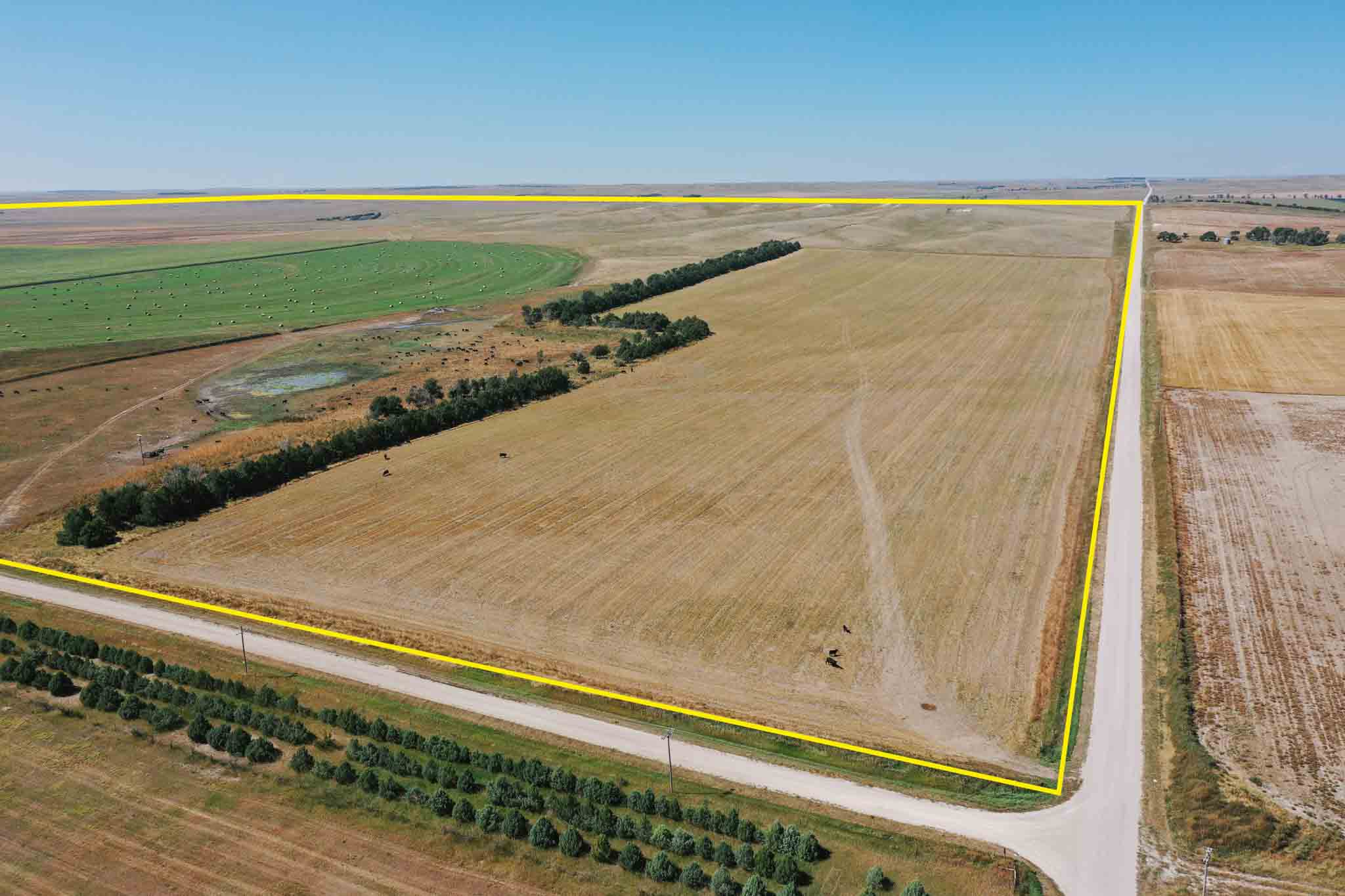
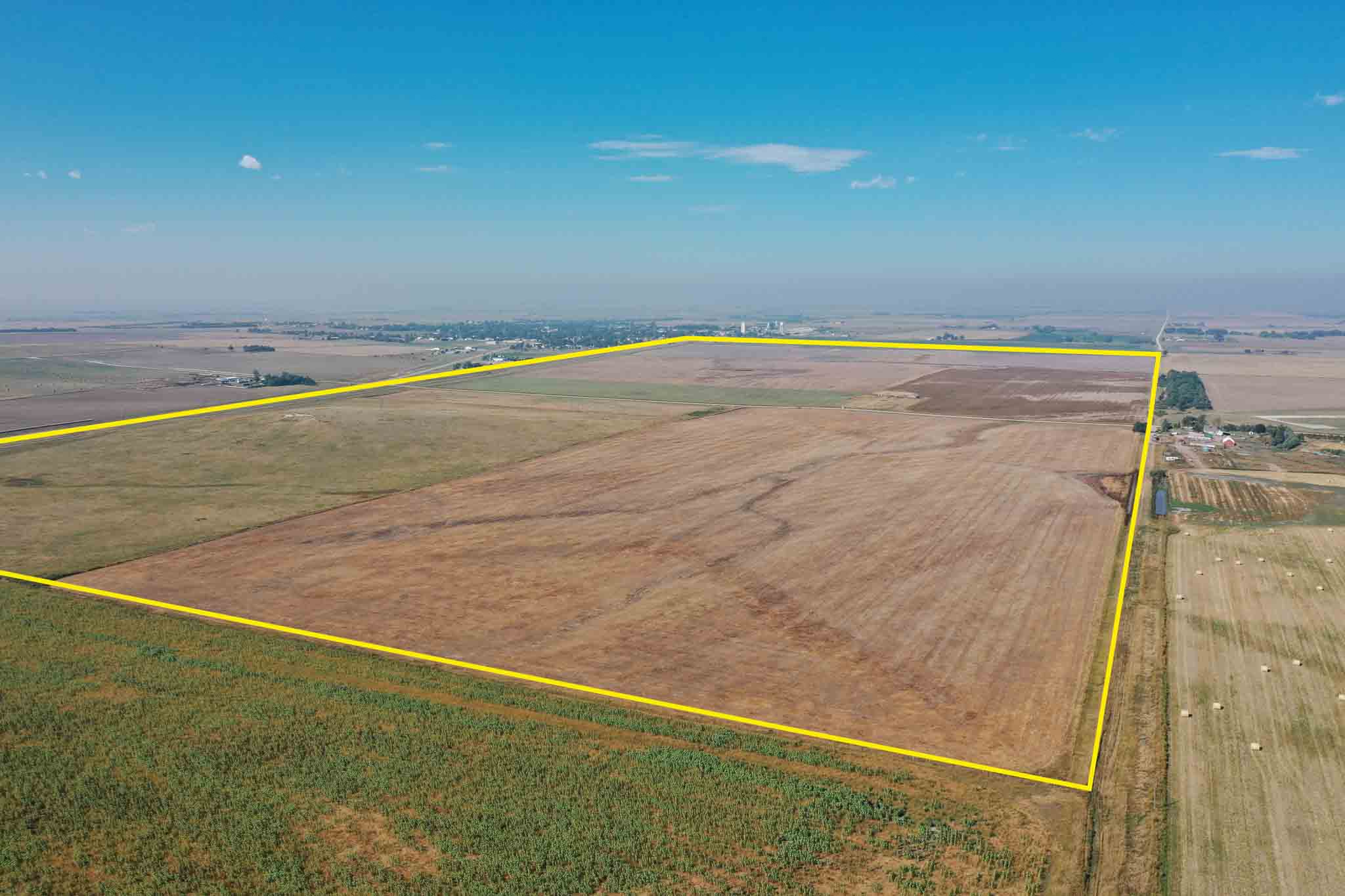
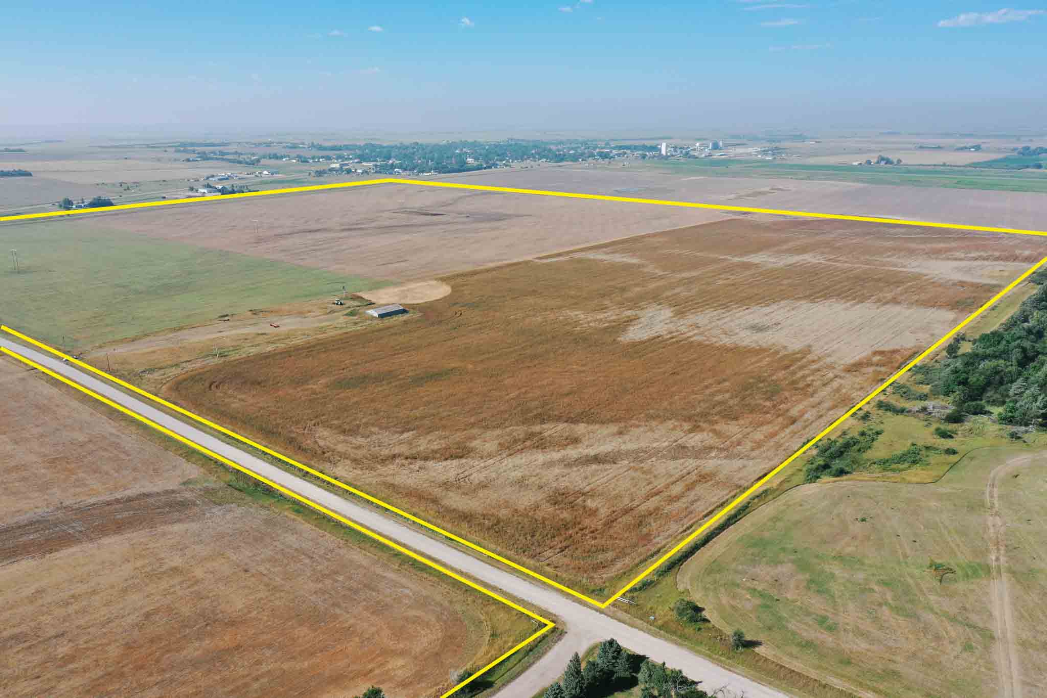
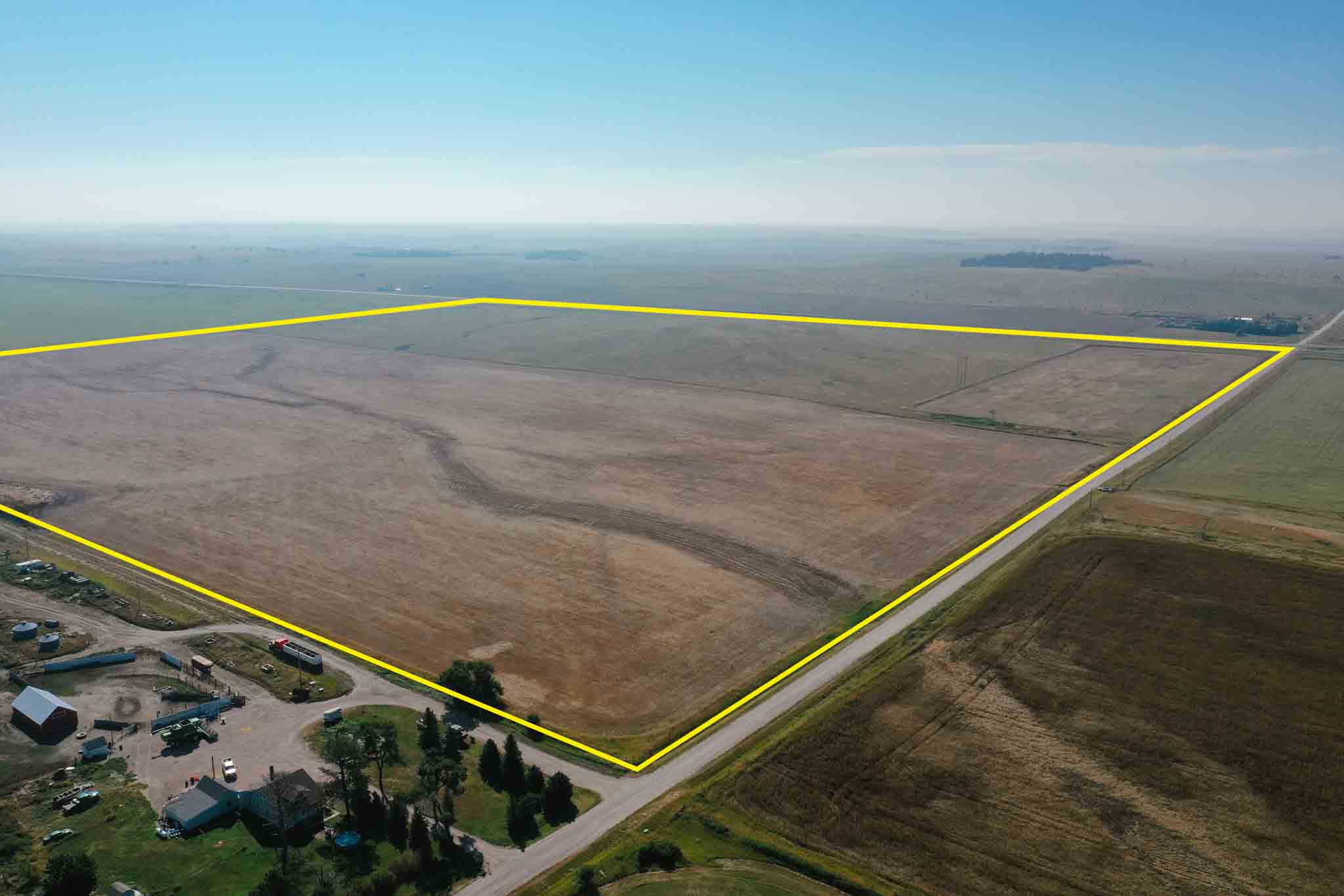
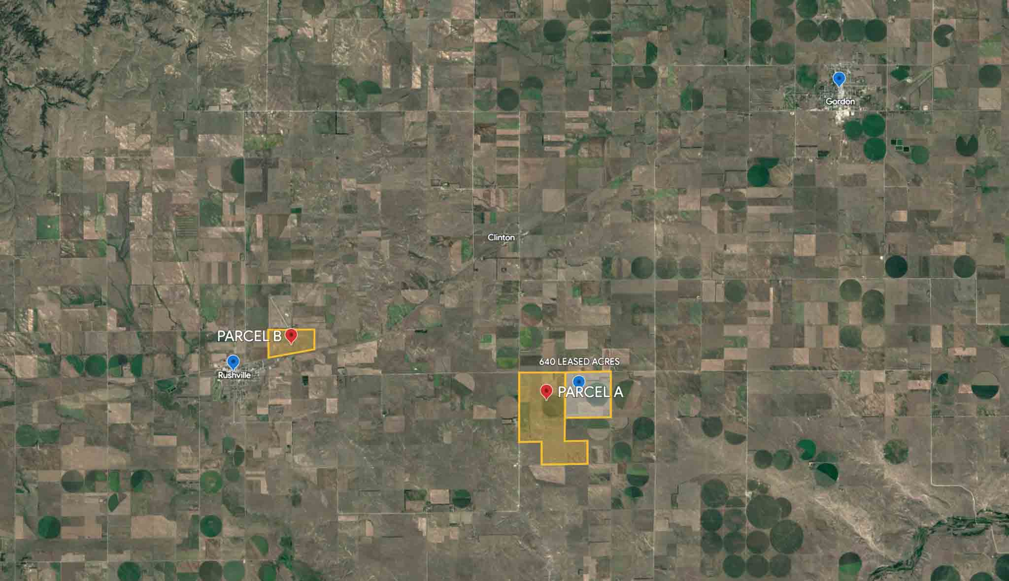
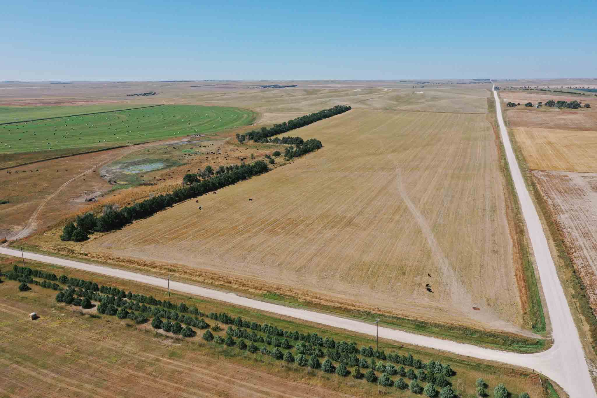
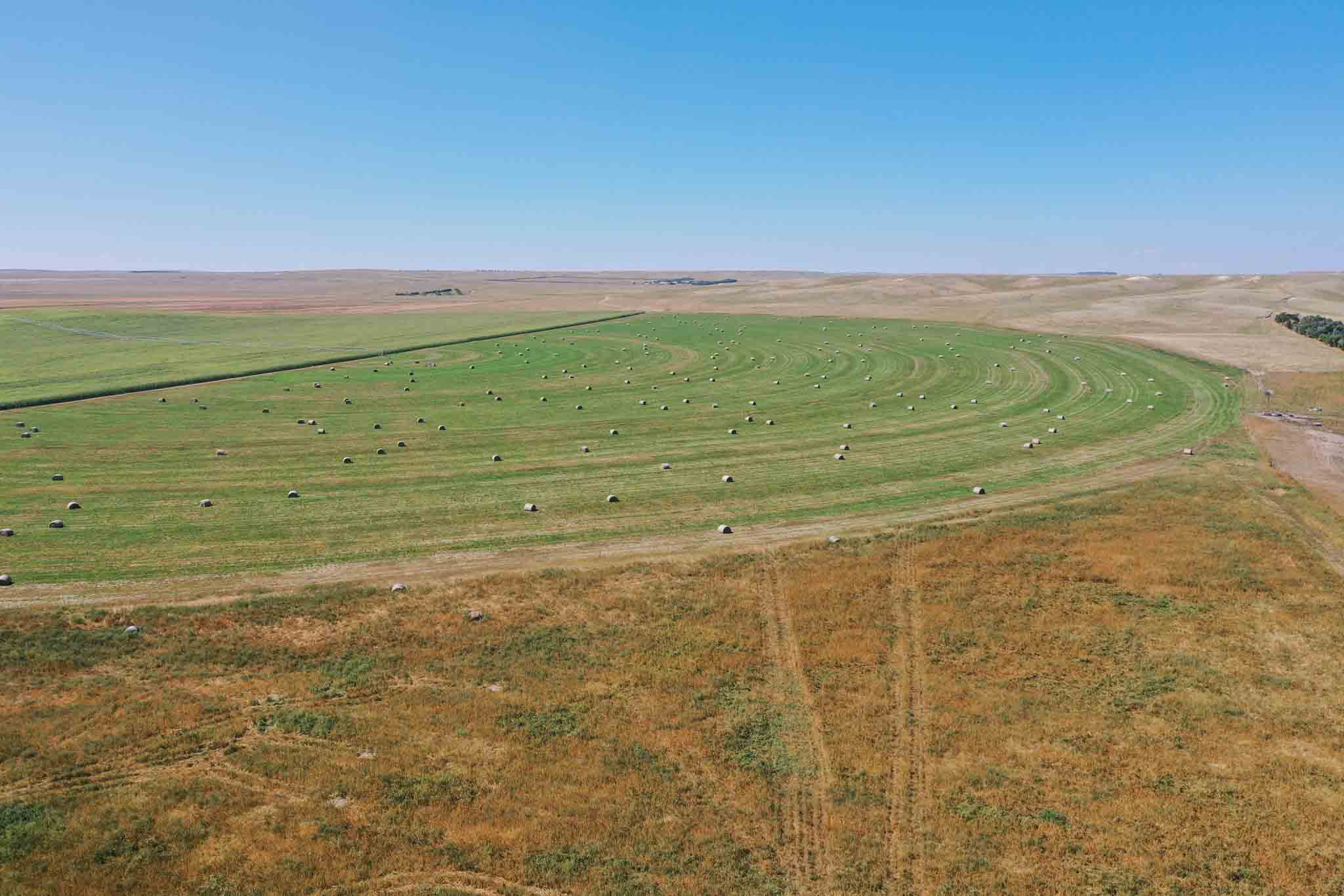
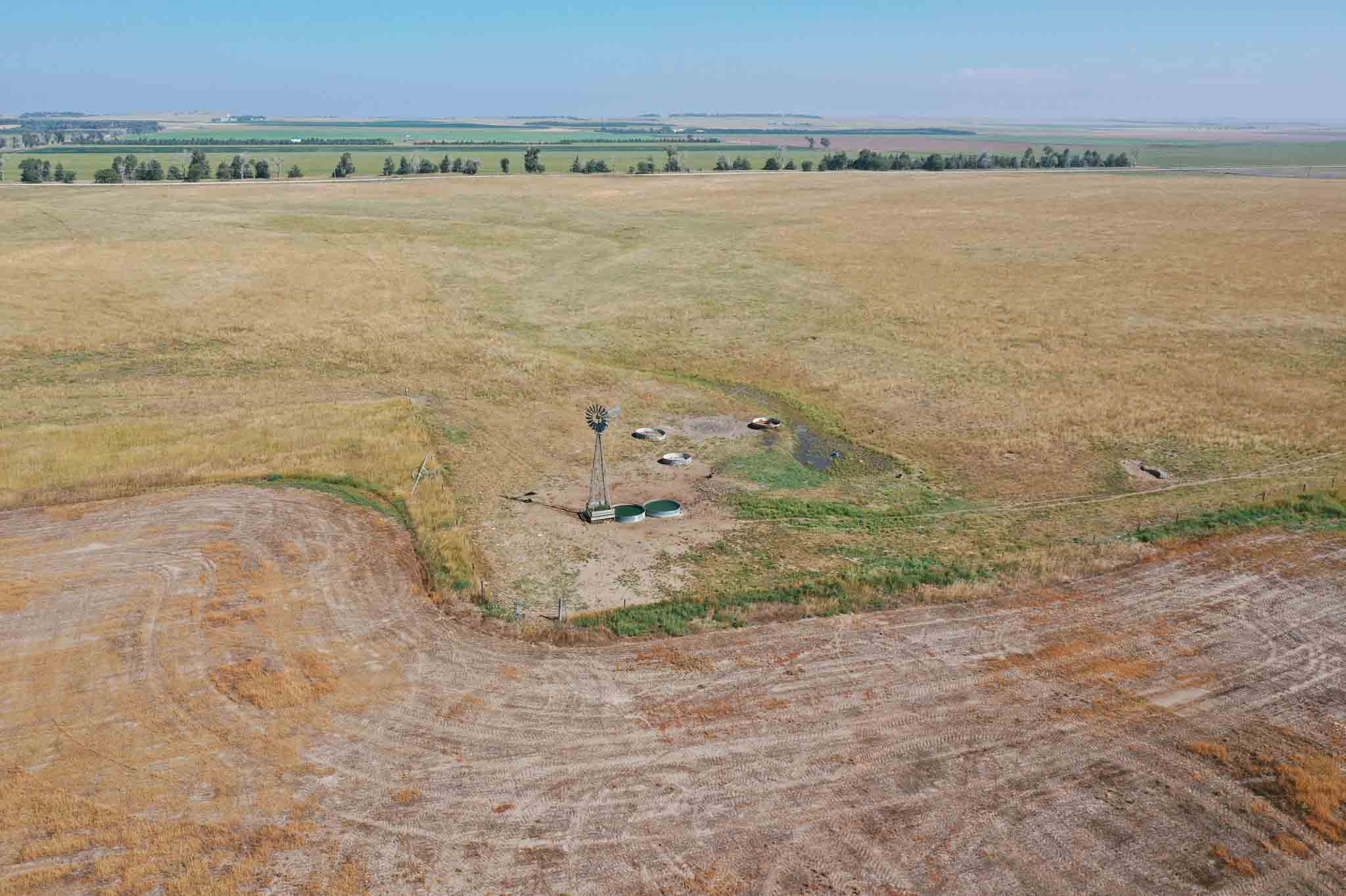
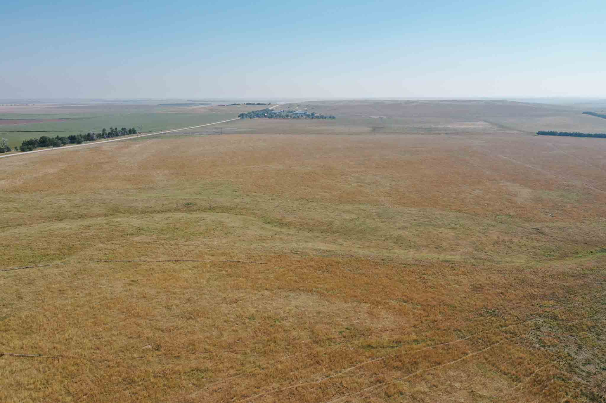
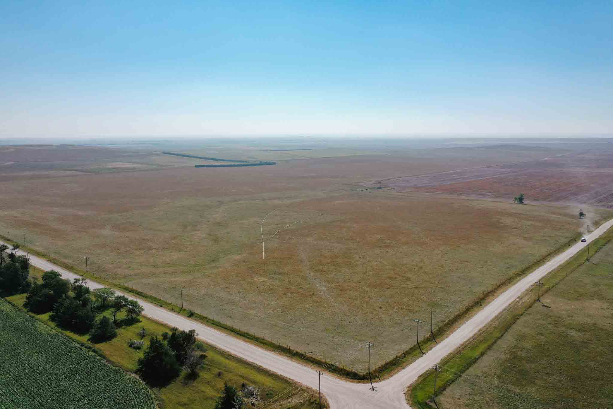
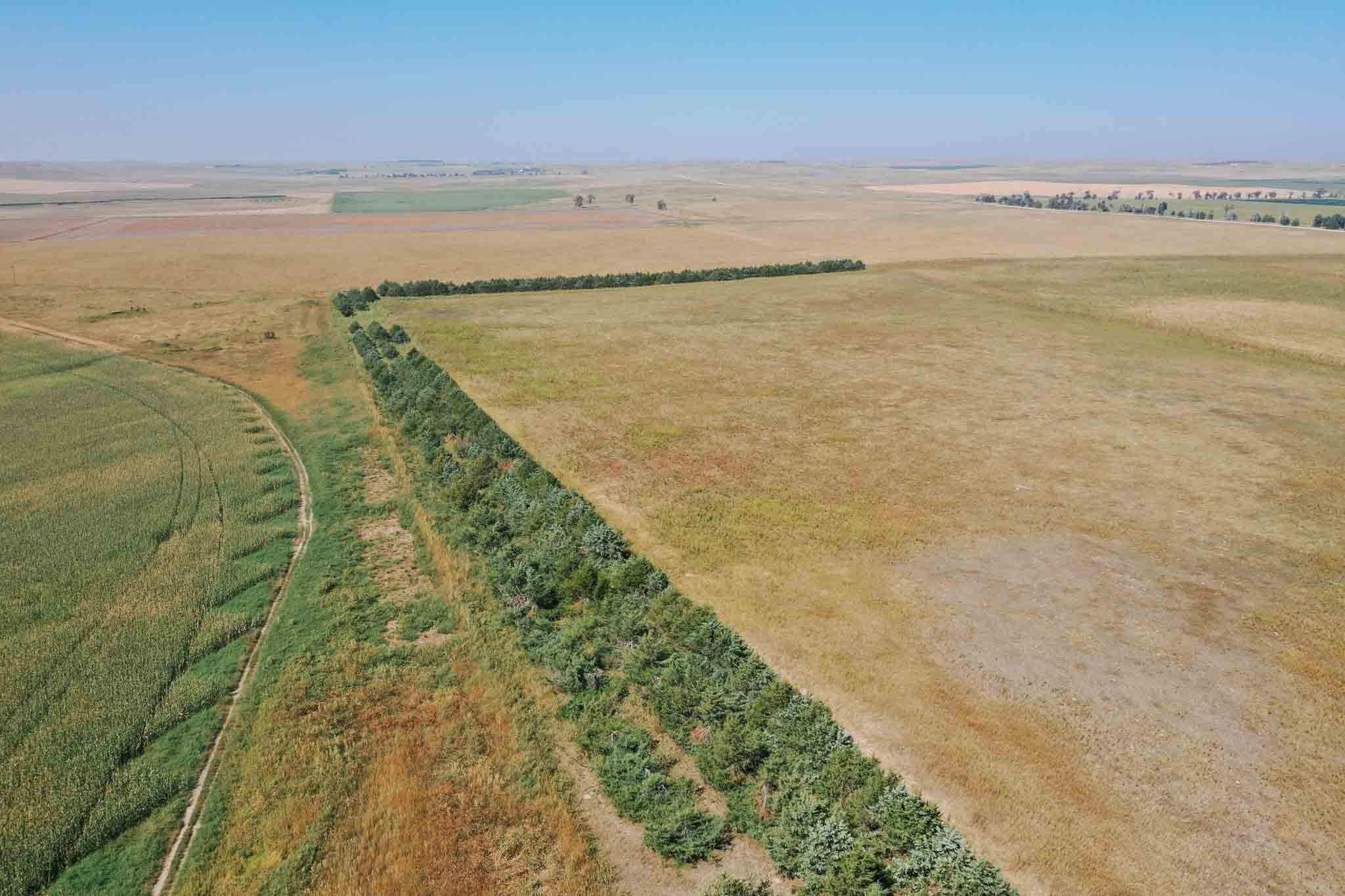
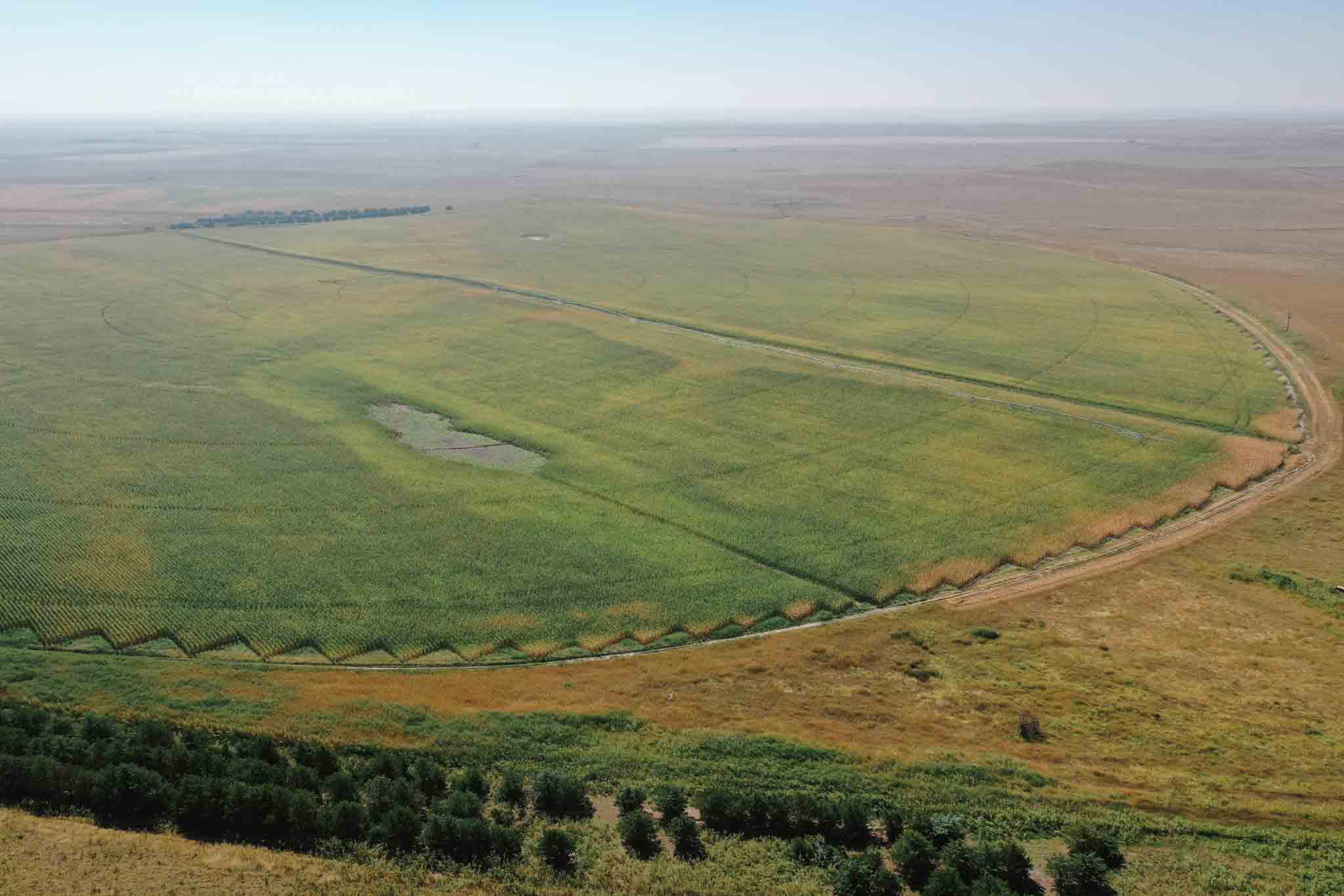
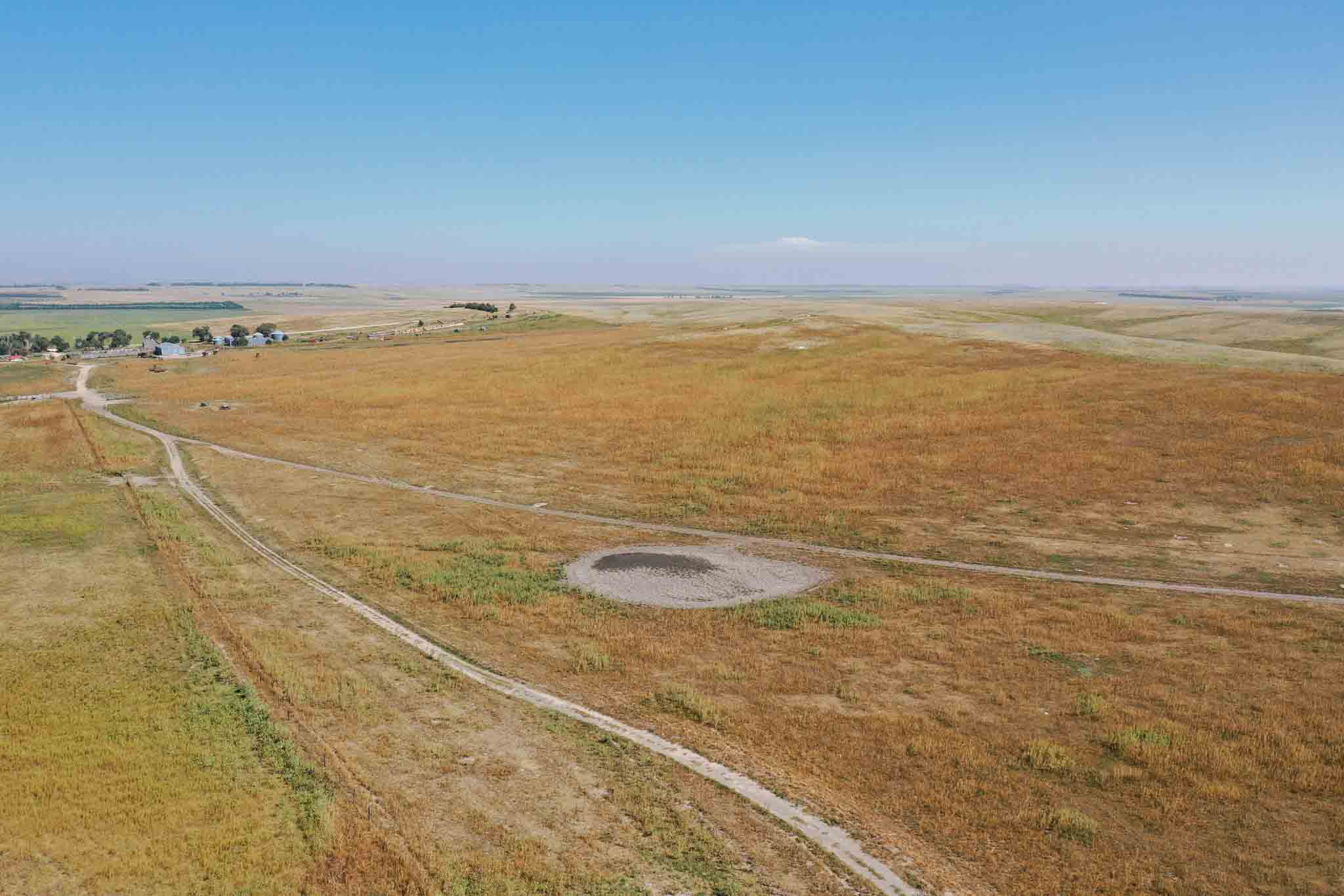
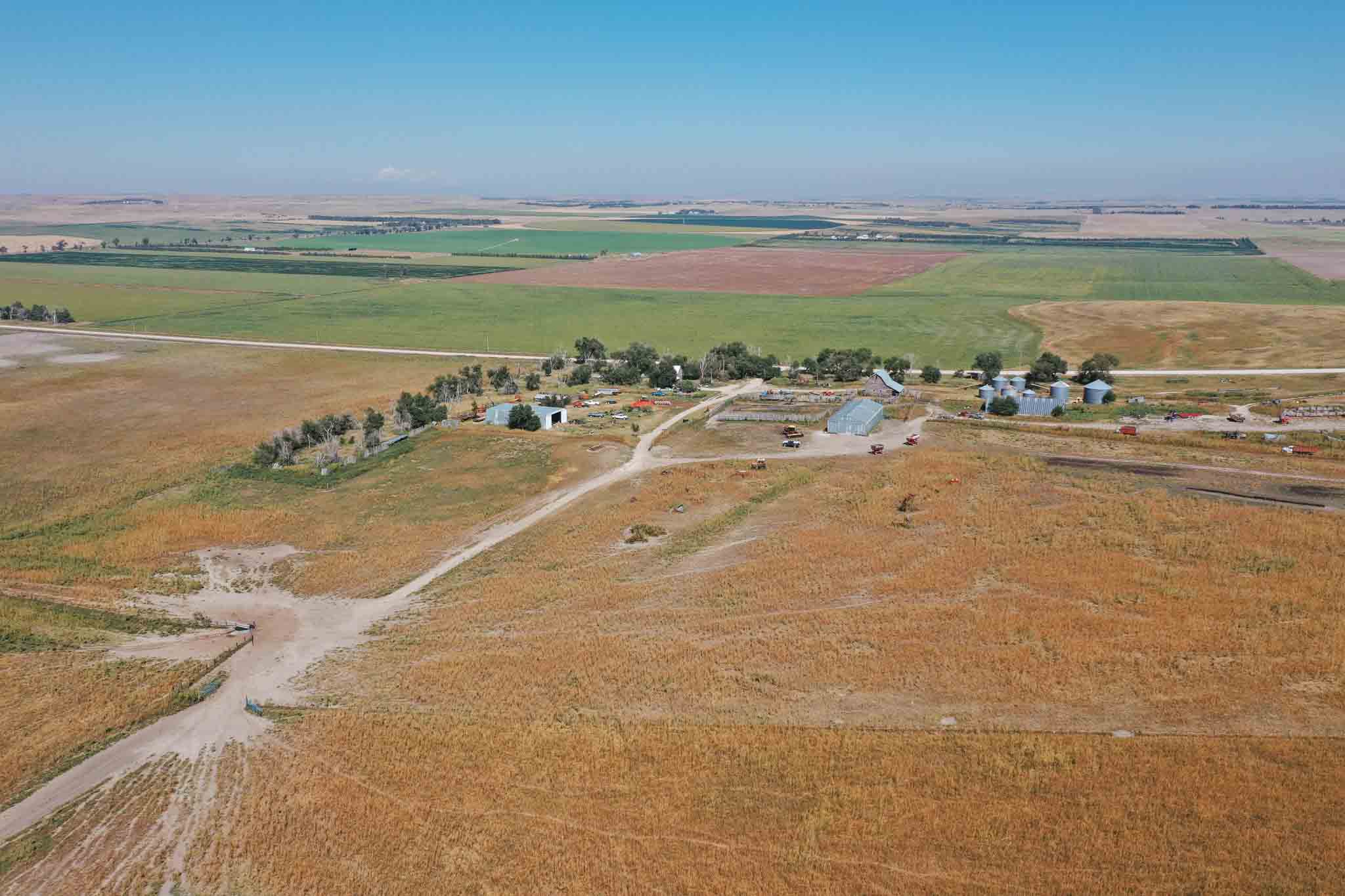
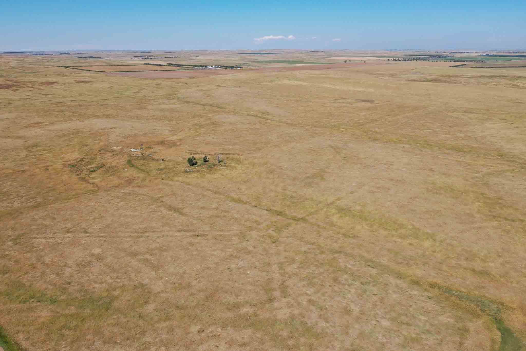
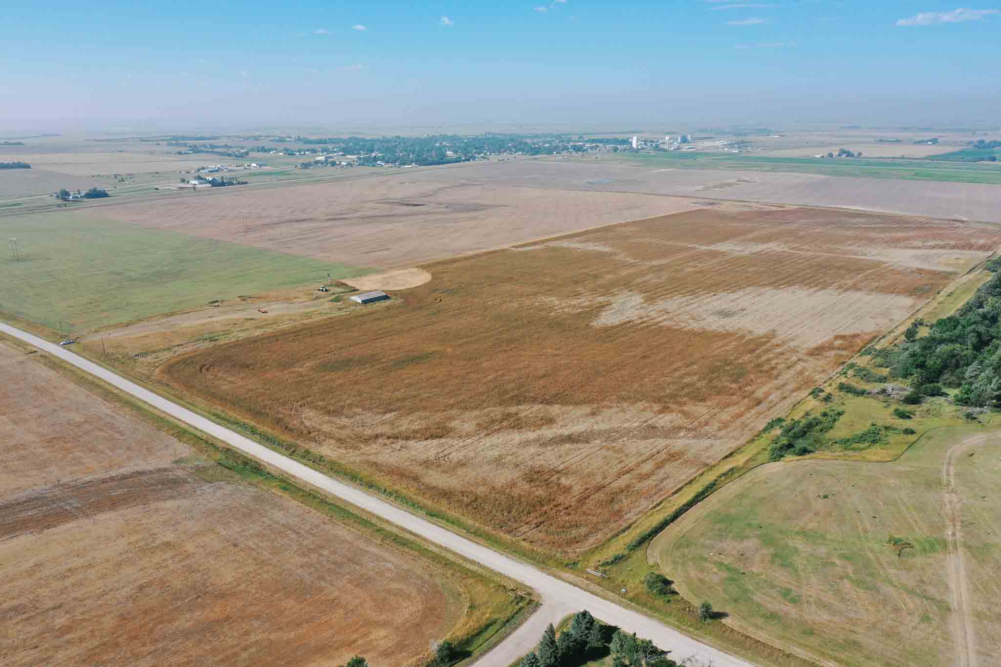
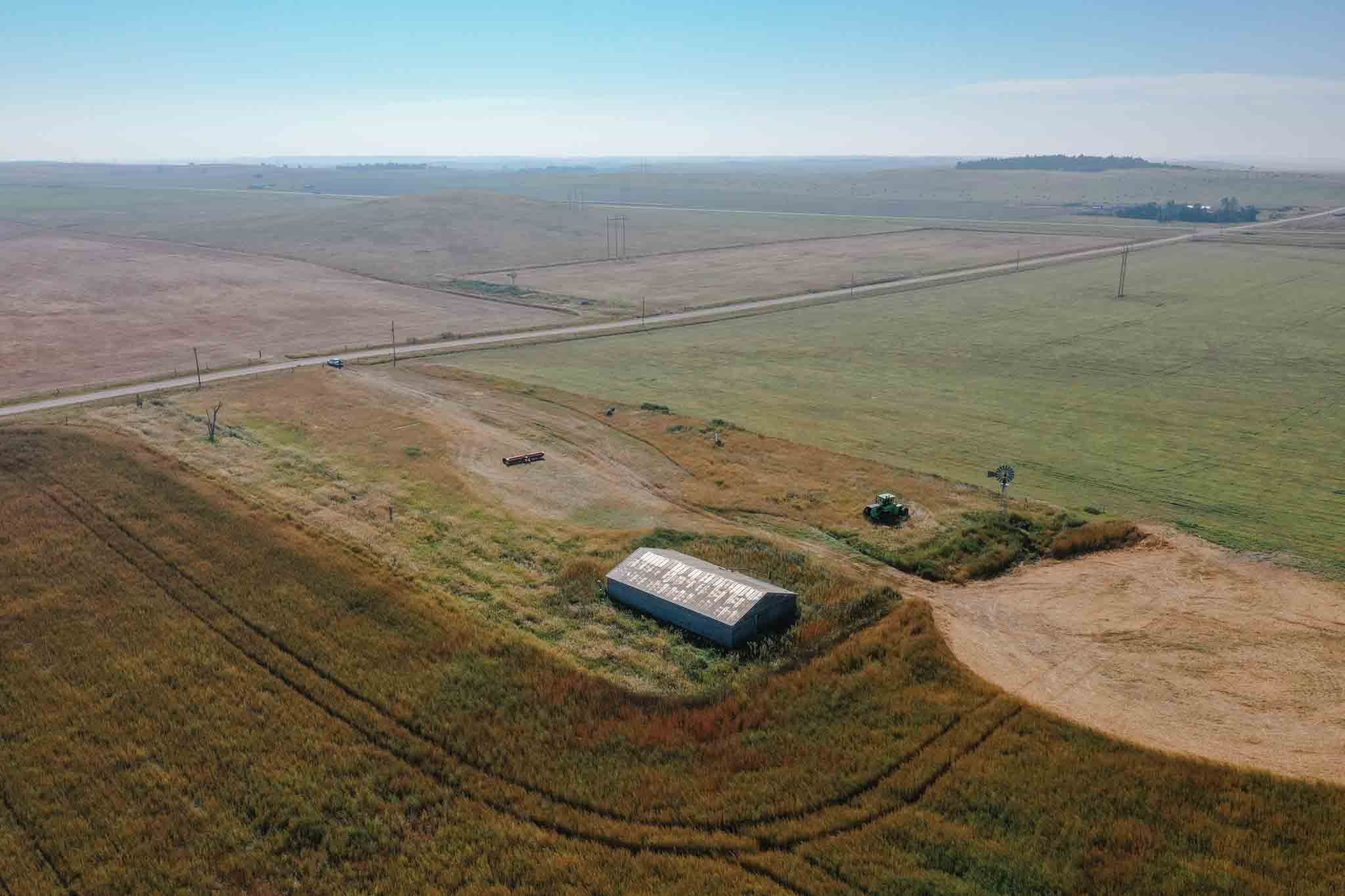
Parcel A is 1266.59+/- contiguous acres located south and west of Gordon. From Clinton NE take 270th lane 4 miles south to the intersection of 590th road and 270th lane. The property starts on the SE corner of the intersection. There are 235 total certified irrigated acres on this farm. 130 acres are under a 7 tower electric Valley Pivot. The Pivot is a 2012 model in good working condition. There are an additional 105 certified irrigated acres located along the west side of the property with an older 3 phase electric well that has not been utilized for some time but has great potential to be reconditioned and an ideal location for another pivot. There is another additional 361.69+/- acres of dry land crop ground and 644.77 +/- acres of nice laying pasture land with submersibles windmills and an older farm yard with outbuildings included.
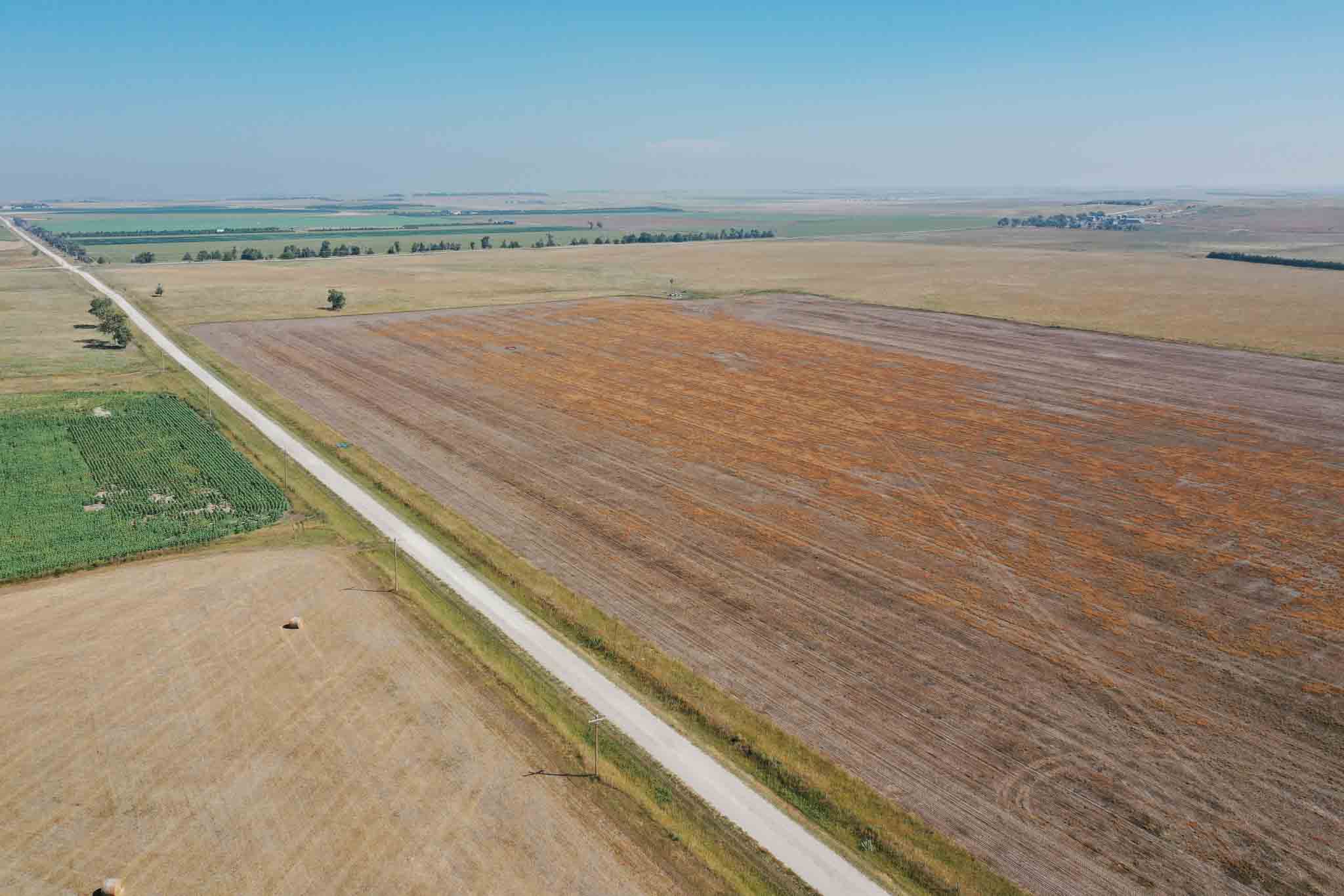
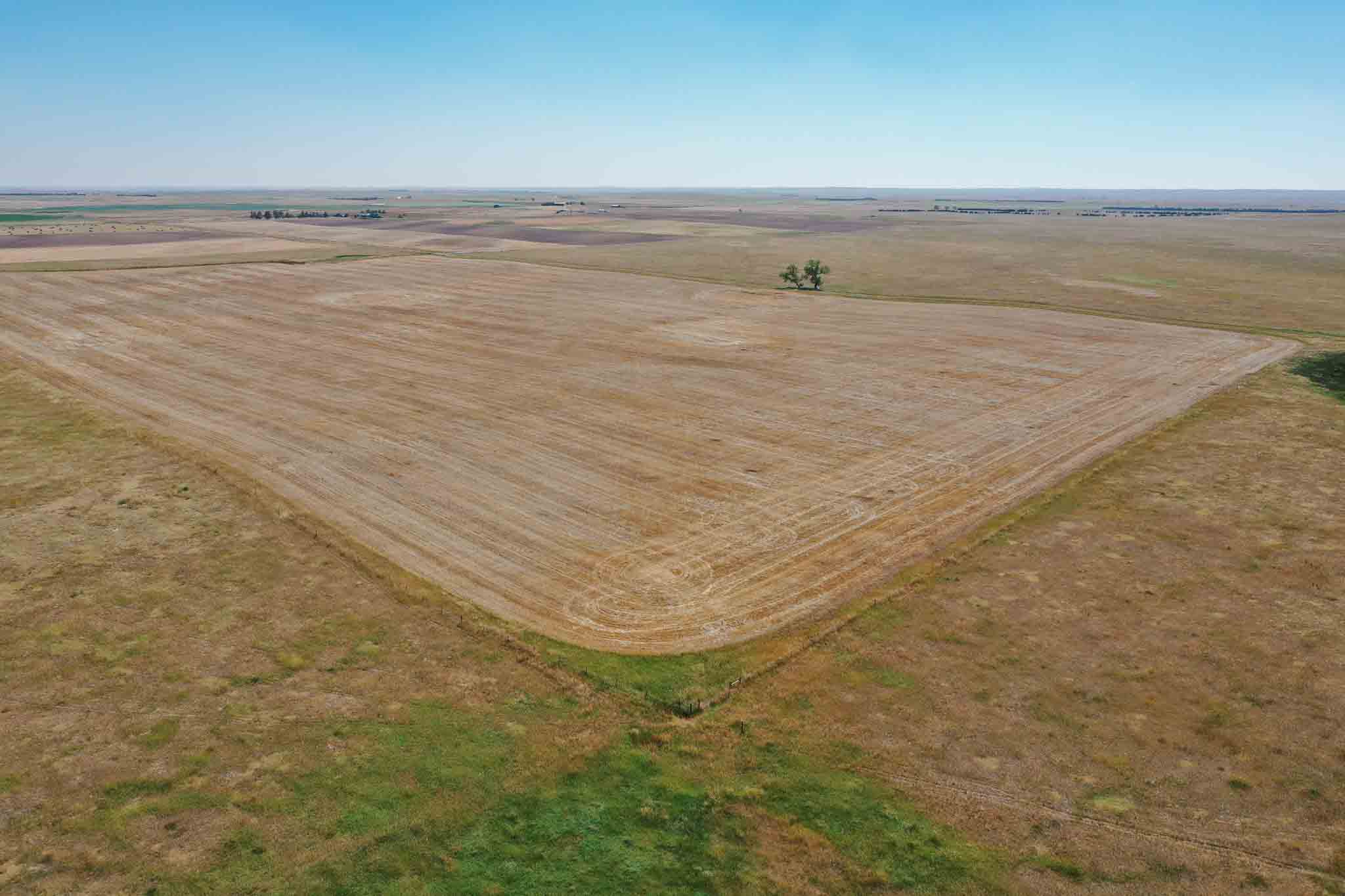
Parcel B is 328.62+/- acres located just east of Rushville NE along Highway 20 just south of the Rushville airport. This Parcel consists of two different parcels with county Road 320 lane running through the middle of each side. There are 260.4+/- acres of dryland crop ground and 59.53 +/- acres of pastureland.
There is also an additional 640 acres of school land leased acres currently leased by the sellers which is located on east boundary of Parcel A. The sellers own the well head and electric valley center pivot purchased in 2014. The school land lease is up for renewal this year end. School Land Lease Payment approximately $30,000.00 per year.
The sellers consistently have run 200-225 pairs year round with the school land acres included. The entire property is open for farming and grazing for 2024 and beyond.
2022 Taxes $14,300.74
Lot Description
Acreage
Pasture
Current Use
Agriculture
Agricultural Uses
Livestock
Row Crop
Livestock Type(s)
Cattle
Row Crop Type(s)
Corn
Soy
Legal Address
Parcel: 810020920 Section 35-32N-43W (629.62ac); Parcel 810040352 Section 01-31N-43W (160.44ac); Parcel: 810016621 Section 26-32N-44W (178.35ac); P... See more
Parcel: 810020920 Section 35-32N-43W (629.62ac); Parcel 810040352 Section 01-31N-43W (160.44ac); Parcel: 810016621 Section 26-32N-44W (178.35ac); Parcel 810016591 Section 25-32N-44W (151.81ac); Parcel 810040379 Section 02-31N-43W (476.91ac) See less
GIS Parcel Id
See Legal Address
Directions
See description.

