Craig, NE 68019
Property Detail
Craig, NE 68019
Craig, NE 68019 - Burt
Listing Courtesy of: American Legacy Land Co.
Farms
Sold
$943,000
115 acres
For Sale
Listing Date: 09/08/2024
Burt County 115
Are you looking to expand your current Burt County farming operation with a 115 +/- acre parcel?
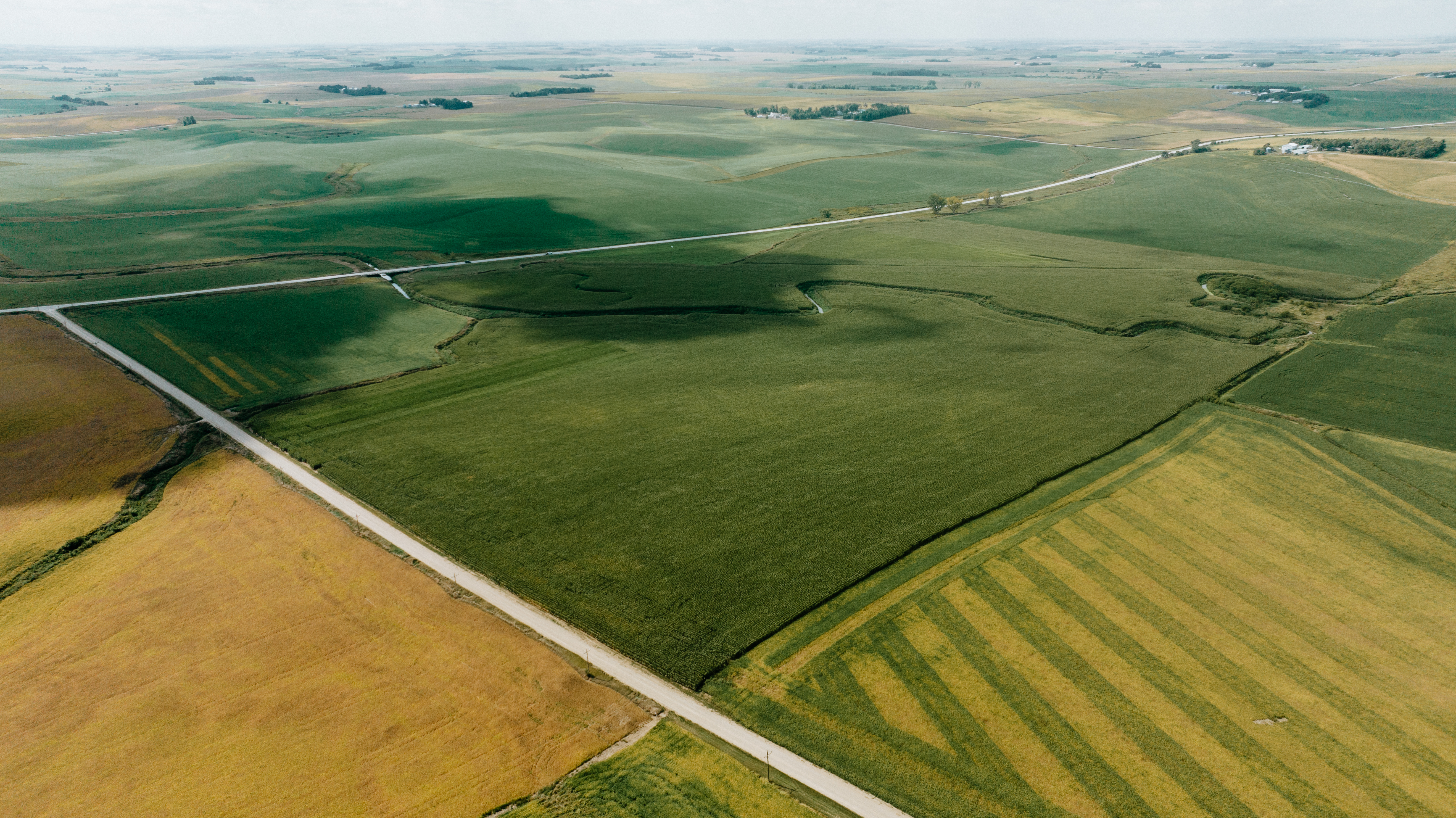
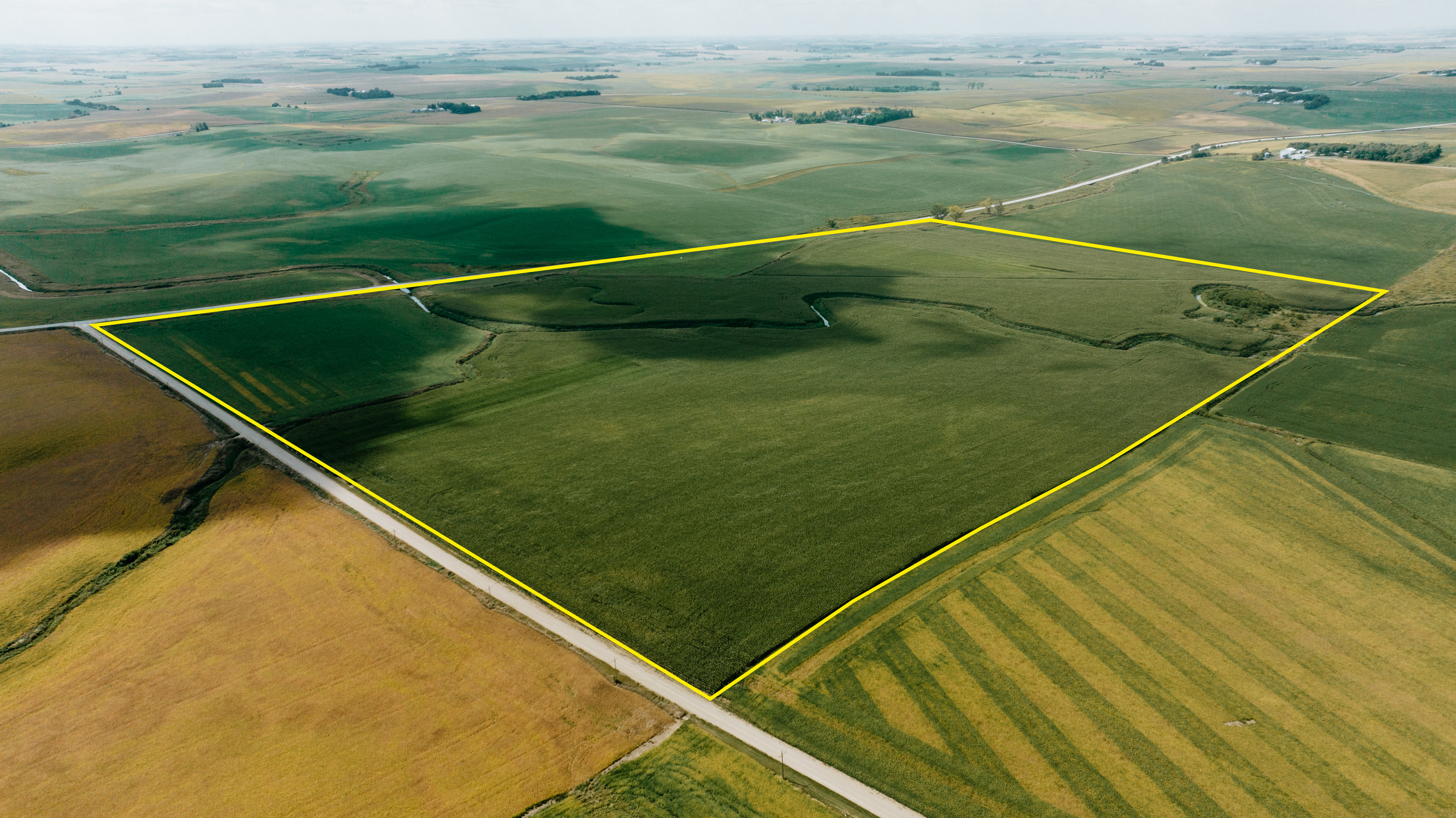
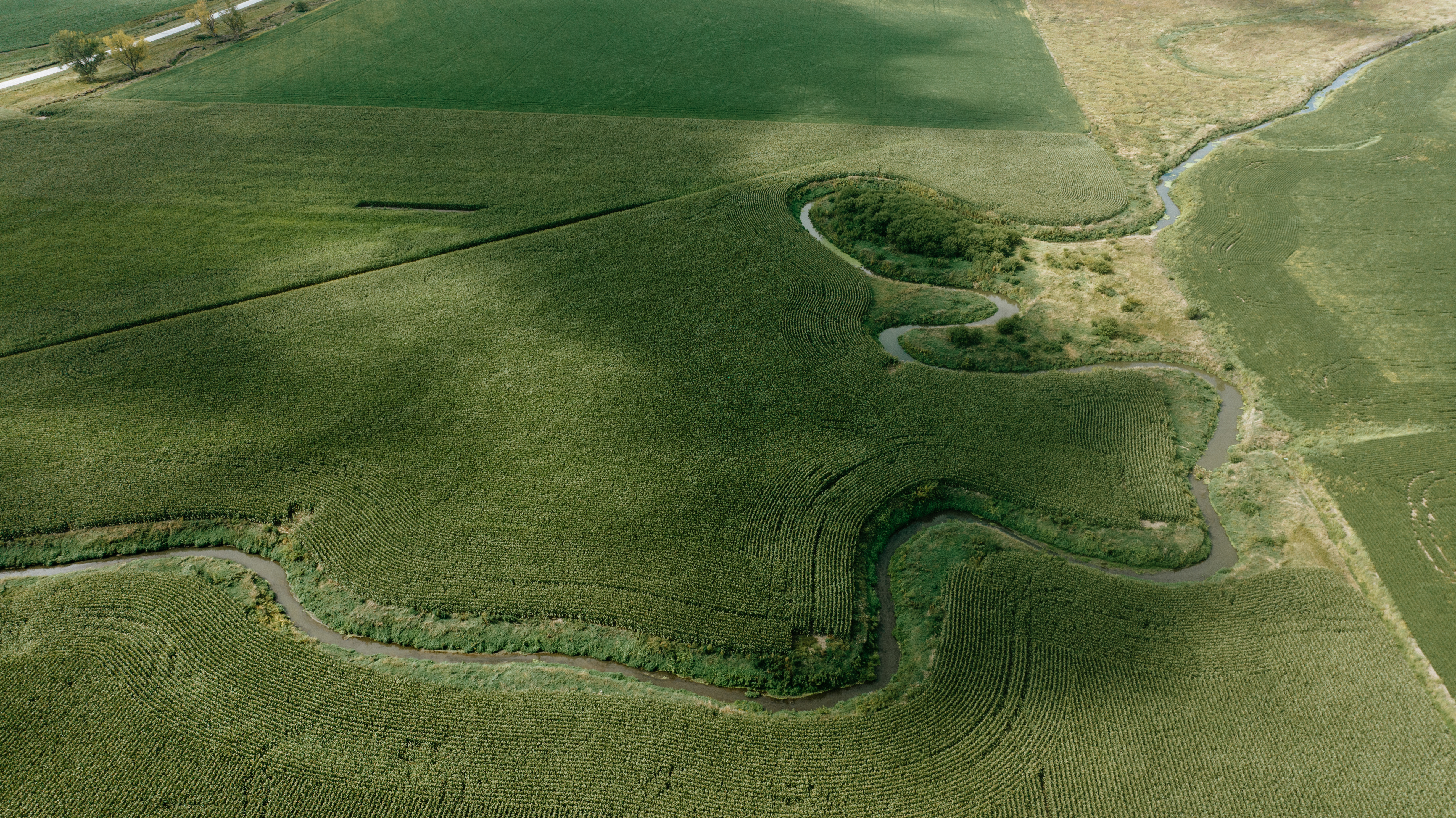
Take a look at this excellently located parcel off of HWY 32 and County Rd 21 and just 1.4 miles north of Craig, NE on the northwest side of this intersection.
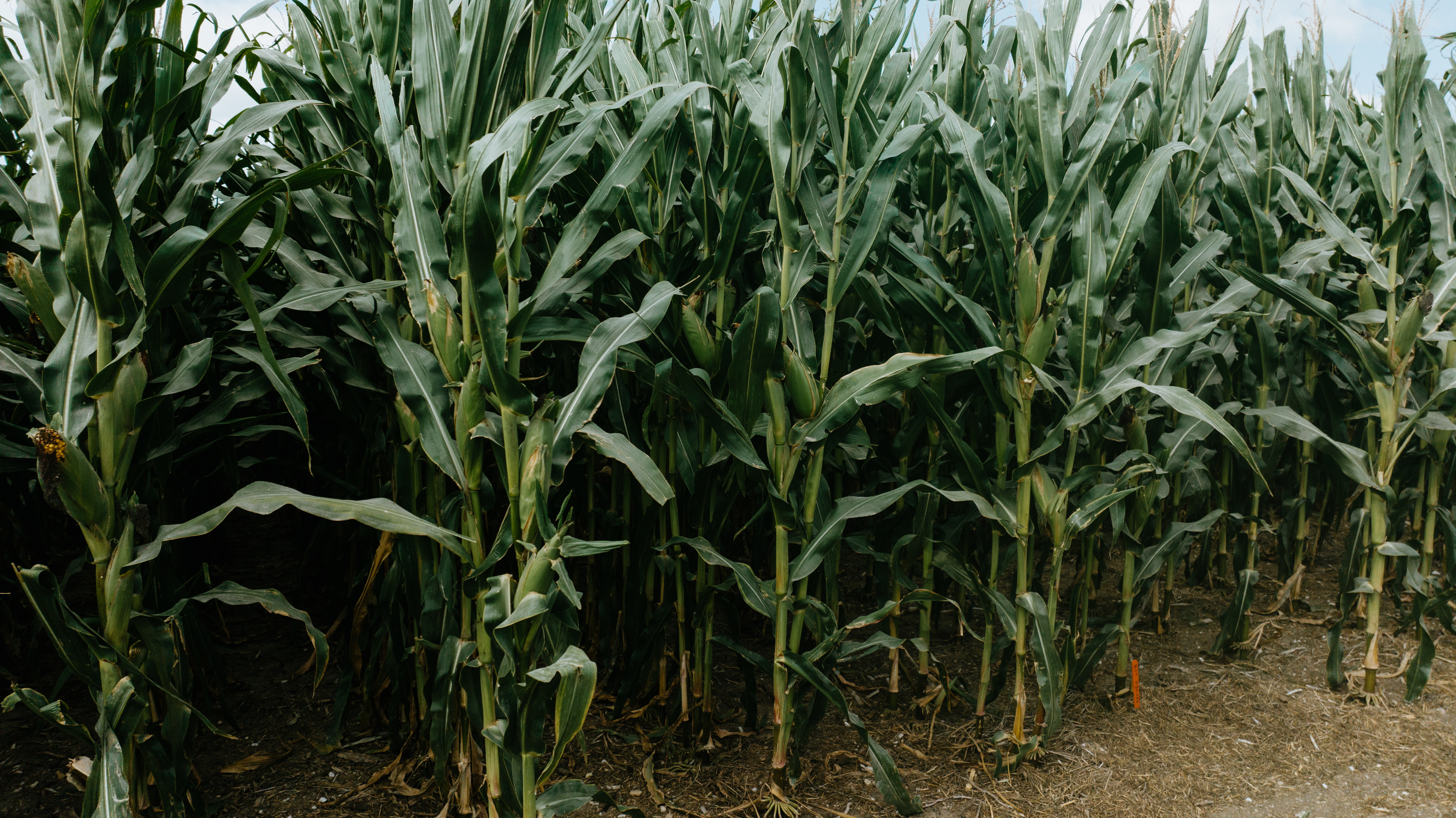
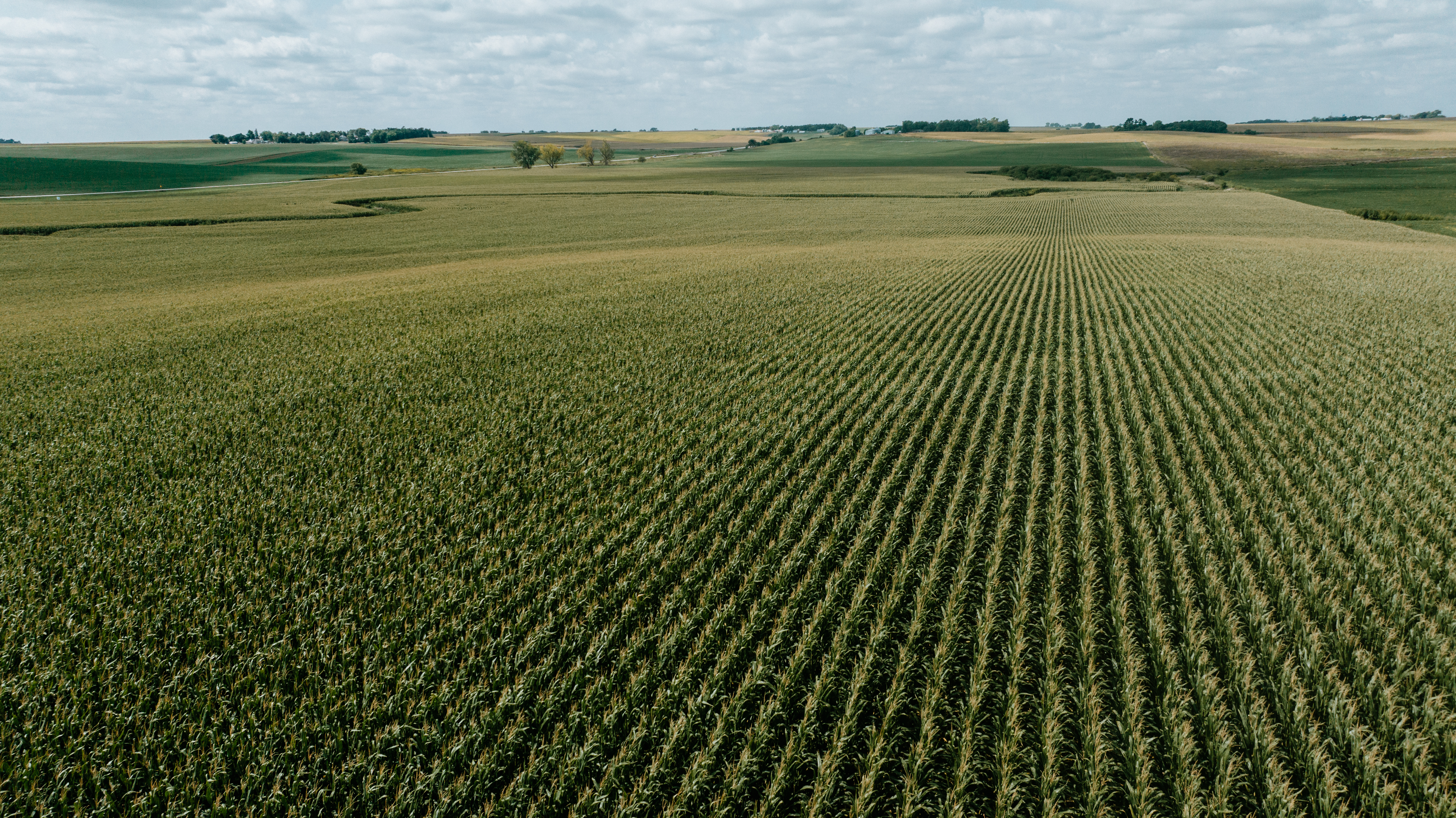
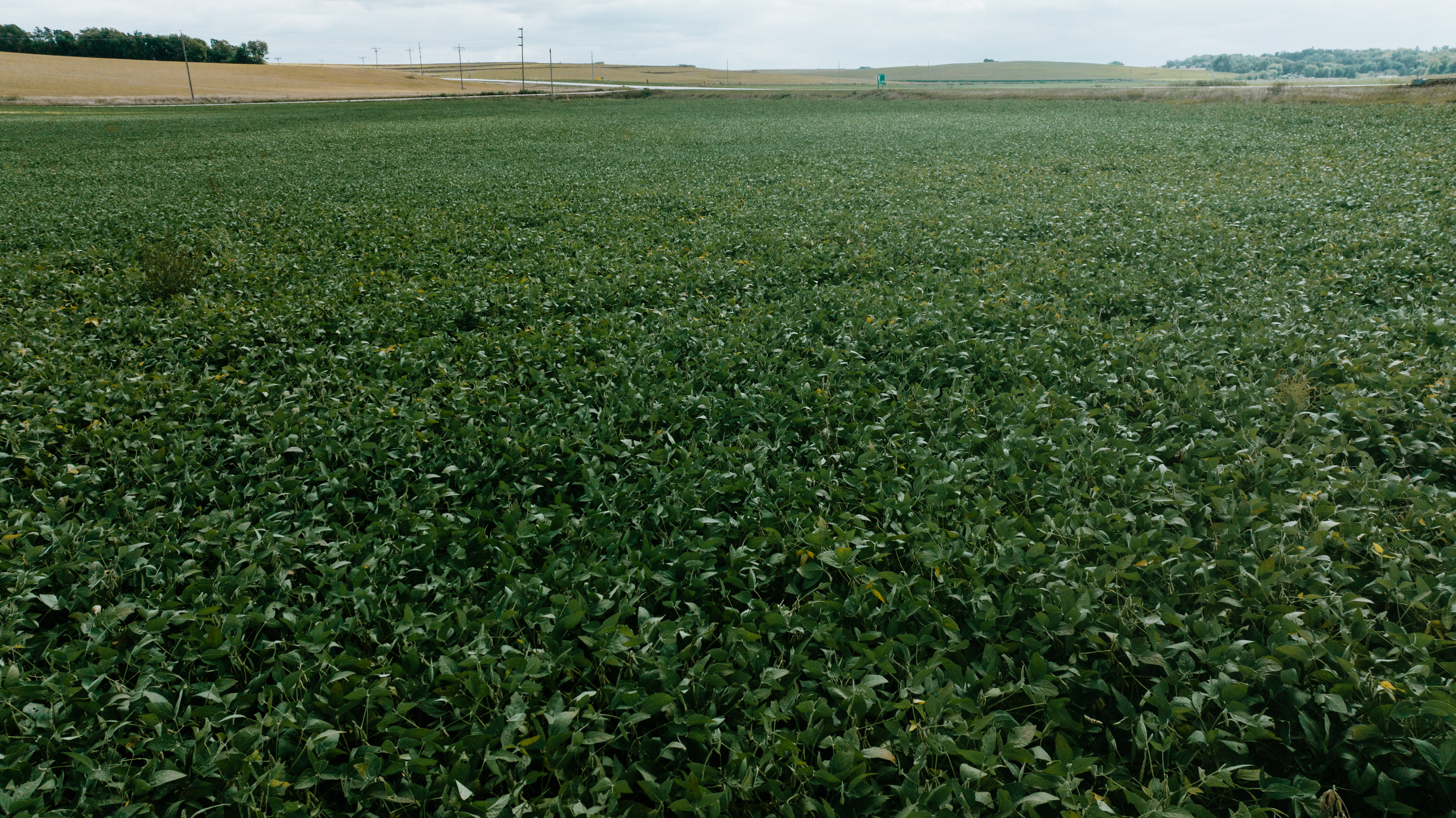
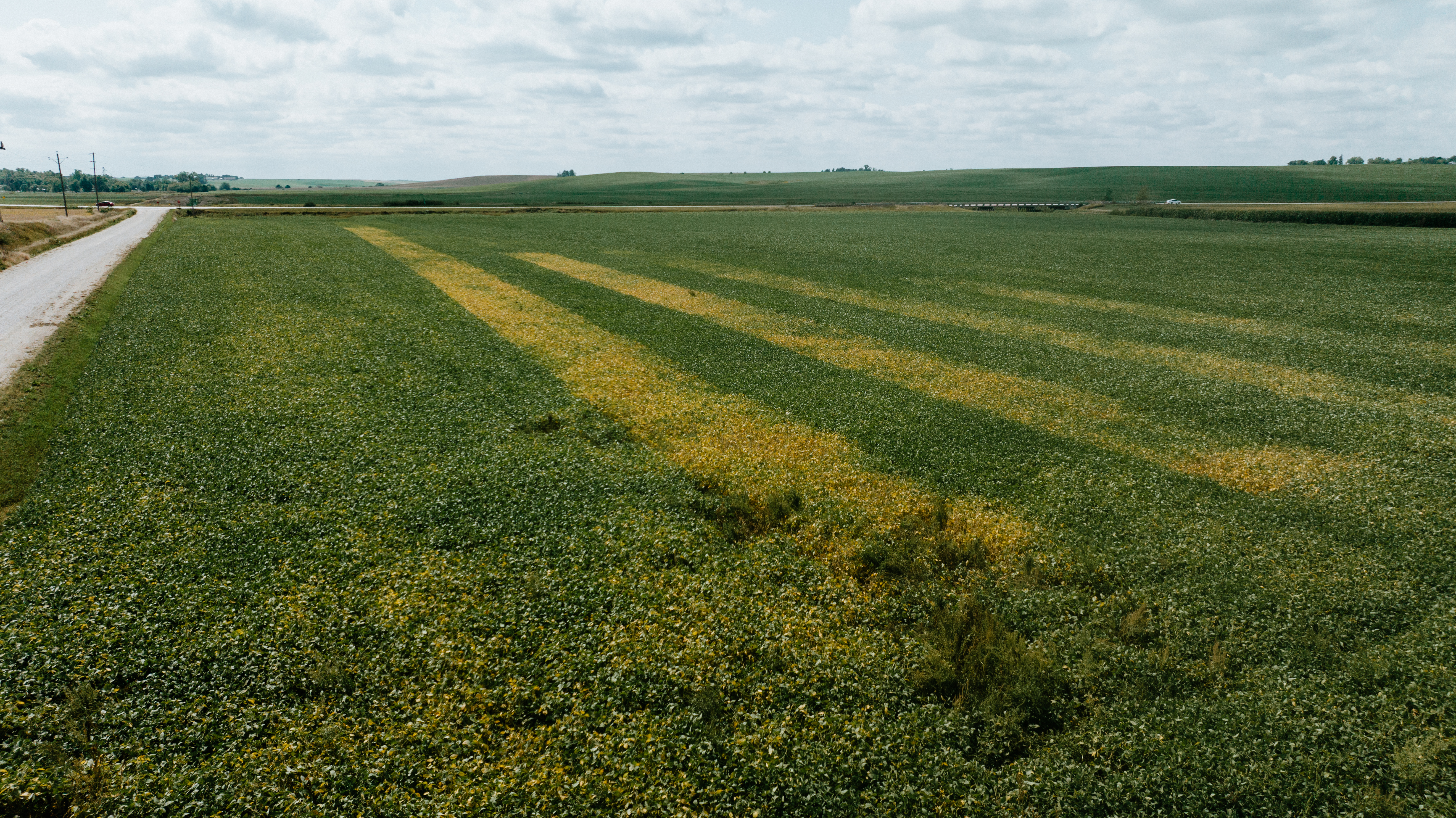
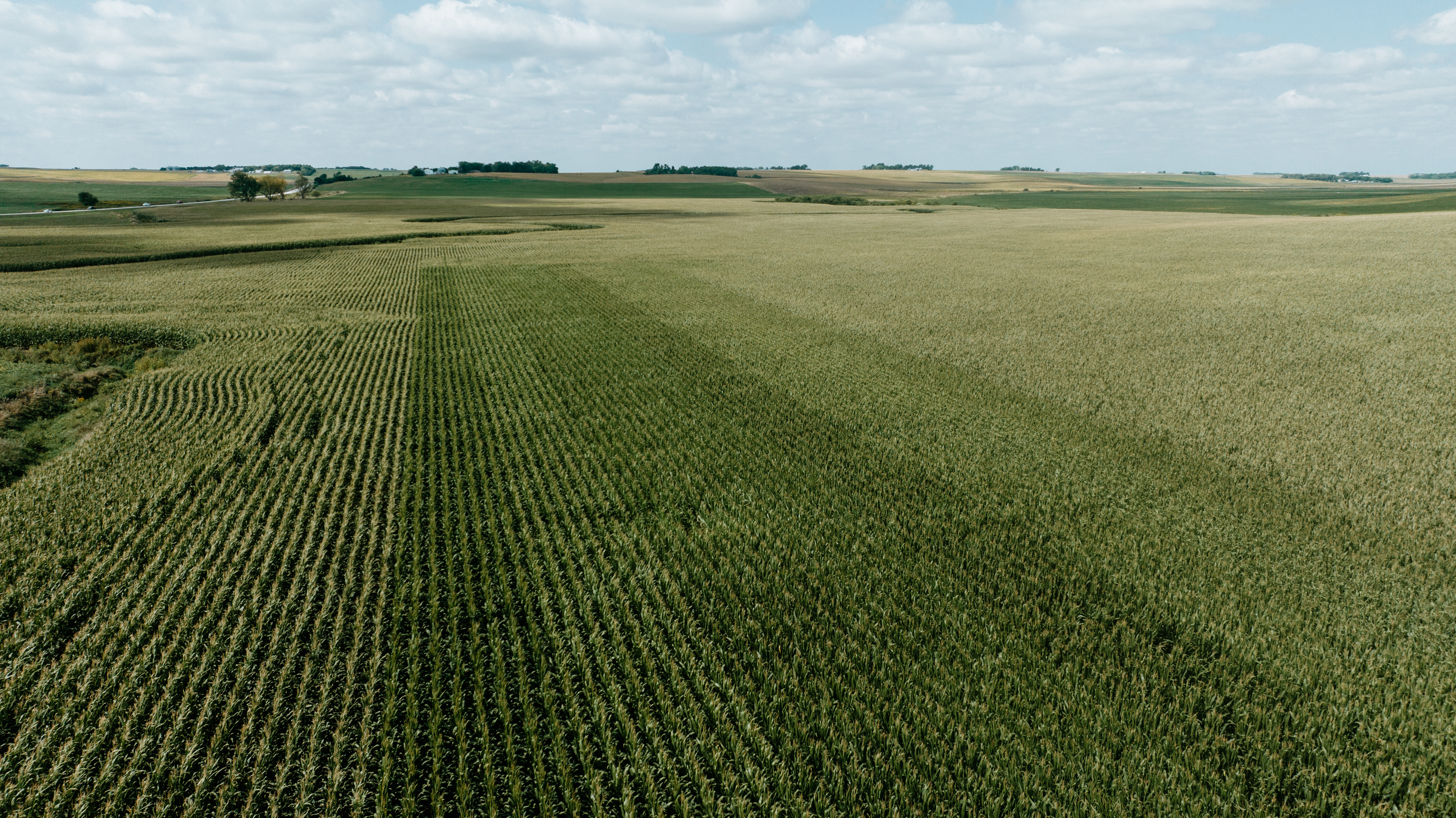
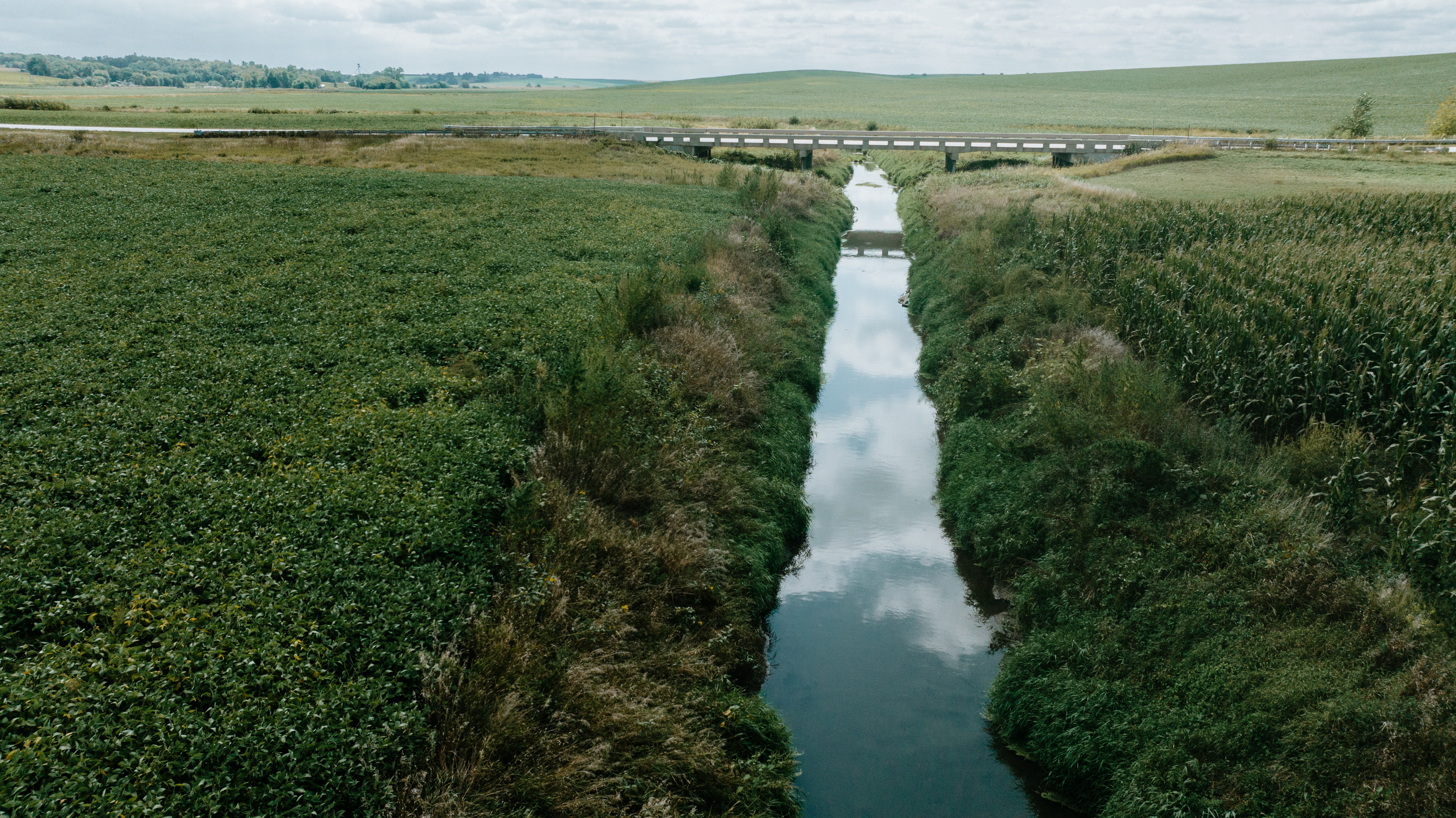
This dry land bottom ground parcel has solid returns in both Corn and Soybeans. Averaging 60- bushel Beans and 200-bushel corn. Currently planted 75% in Corn and 25% Soy Beans.
Current tenant will retain 2025 option to farm and is on a Crop Share program with current owners. Tenants pride and good farming practices shine on every part of this property. This is a great opportunity to partner with this long-term tenant to solidifying your investment or expand your operation.
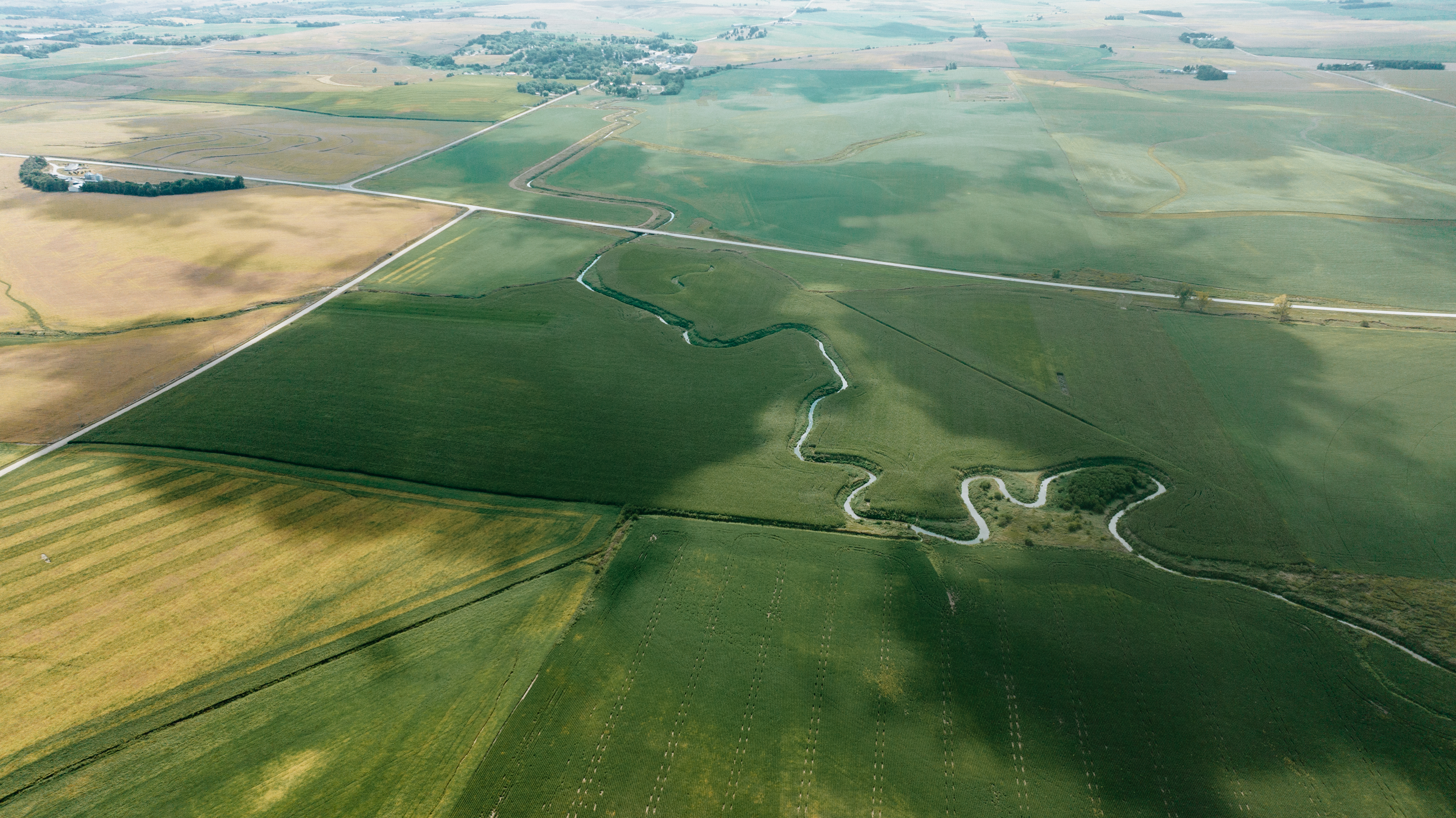
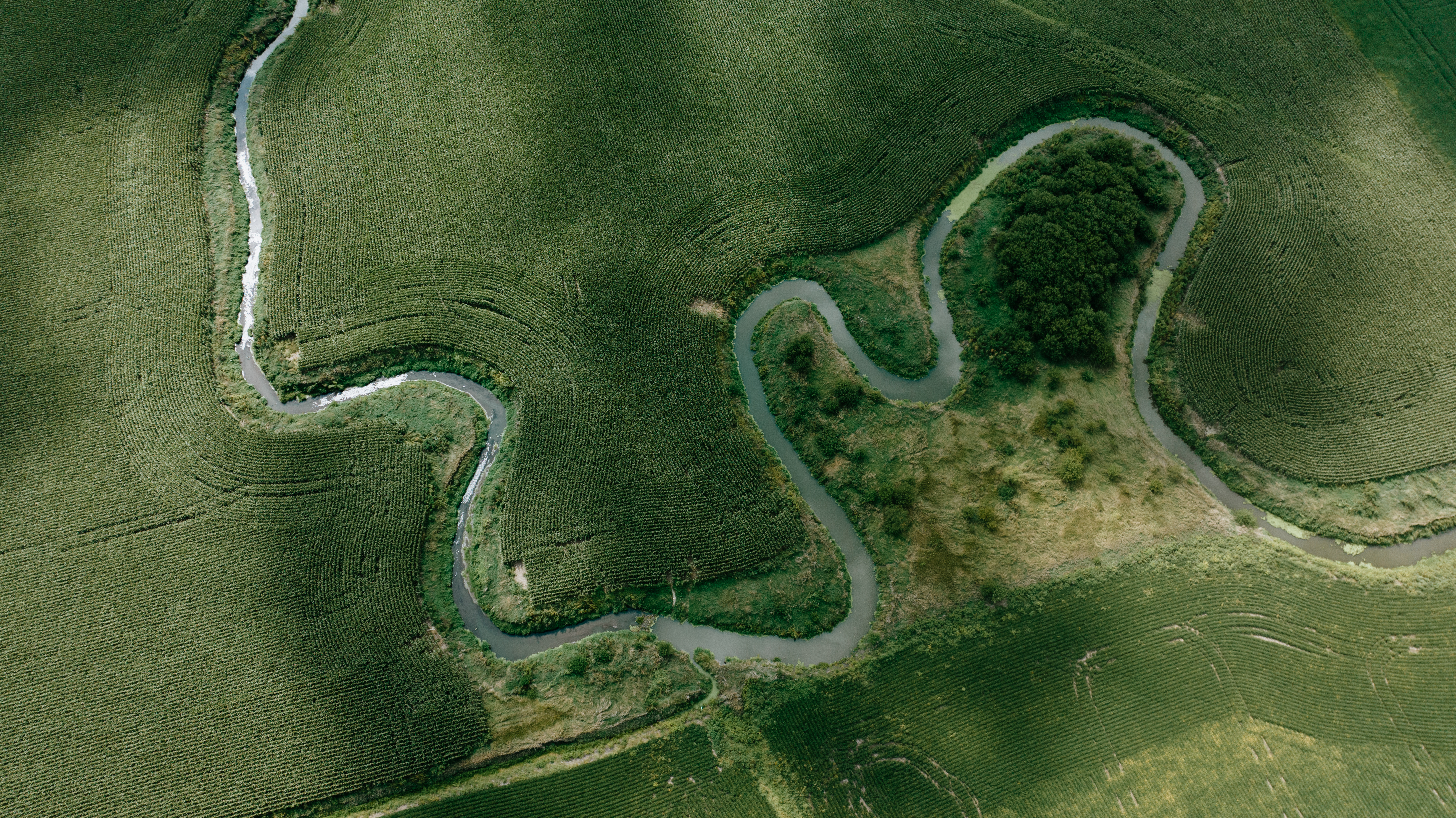
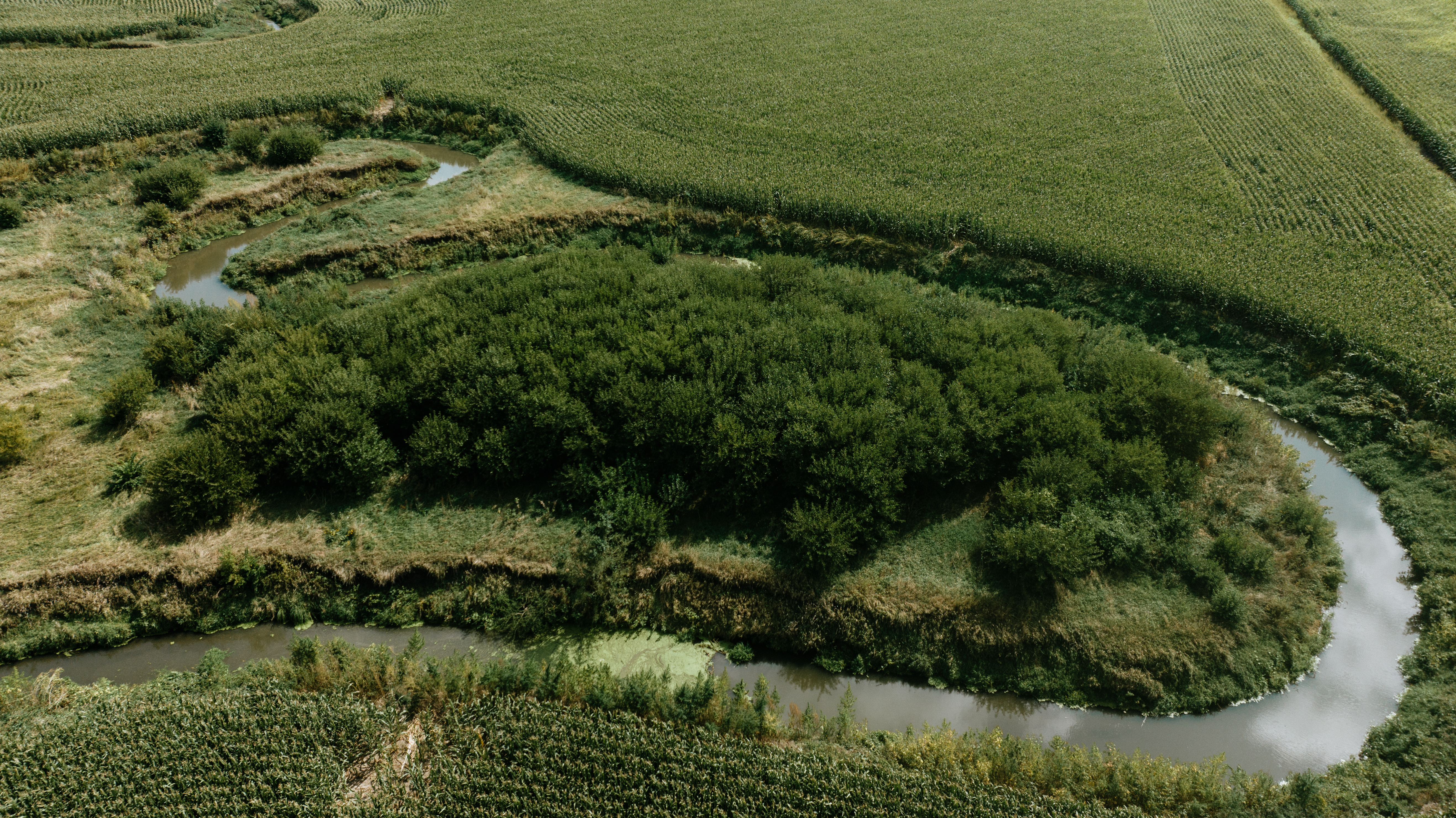
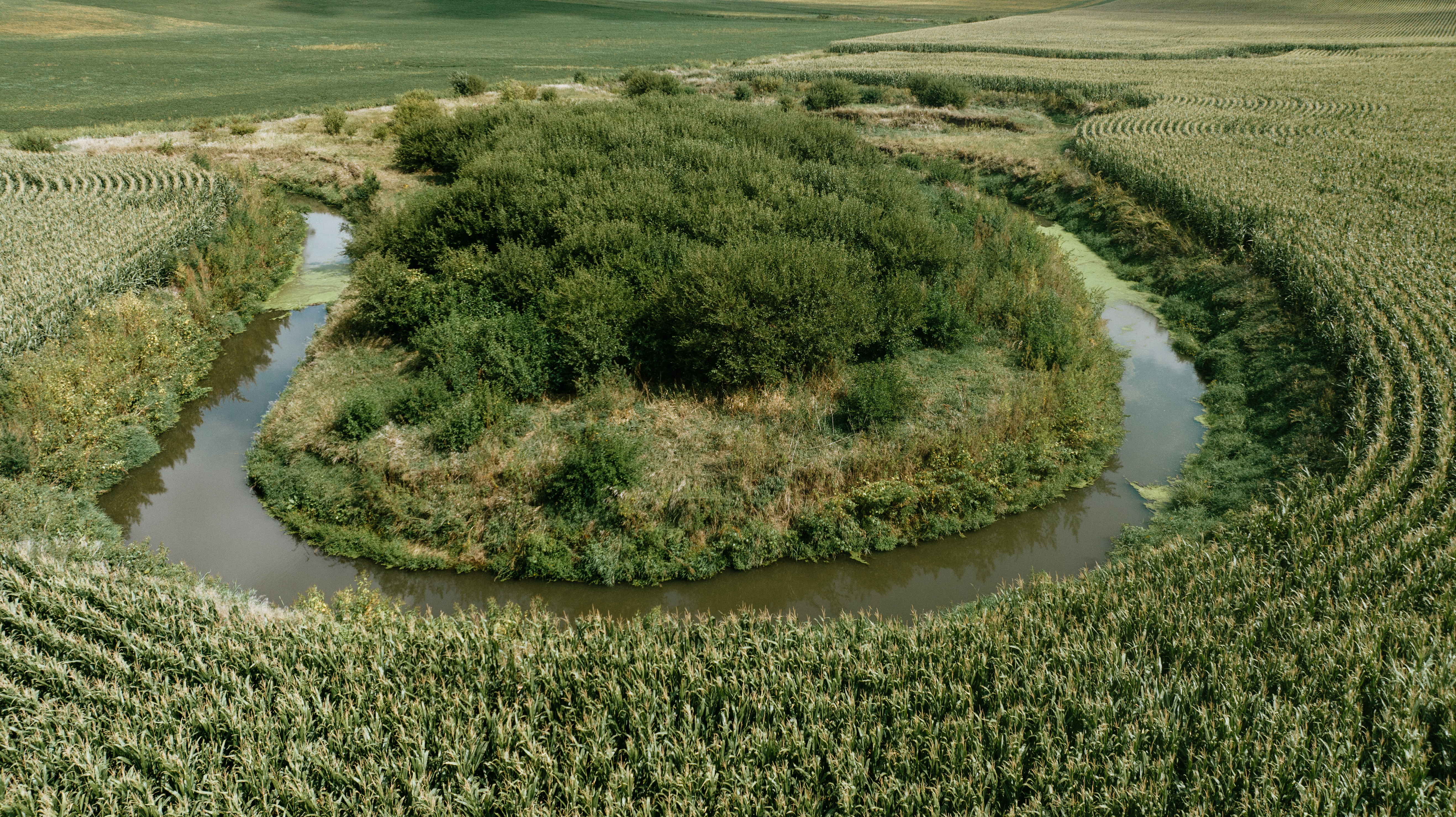
This bottom ground property has a creek that runs through the property is set up for good overall drainage. Consisting mainly of Calco Silty Nora Silty Loam, Moody Silty Loam and Zook Silty Clay Loam soils.
Property has some lower lying areas and a creek but have good tall grass coverage to minimize run off and erosion.
Property has multiple entrances allowing for good access of both machinery and trucks.
Burt County parcels do not come to the market very often so don't let this one pass you buy.
Property is viewable from the road on multiple sides but if you would like to take a closer look at whole property contact listing agent to schedule a time to be on property.
Legal Description: Parcel #425402600, SE1/4 N of Road 11-21-9 Craig TWP 115 +/-Acres
Taxes: $7,835.64
Key Features:
1. Quality Dry Ground Parcel
2. Quality Bottom Ground
3. Excellent Road access
4. Good Drainage
5. Close to Grain Markets
Contact American Legacy Land Company Listing Agent, Bob Osborne at 402-660-4970.
Facts & Features
- School District
- Oakland/Craig, NE
- Elementary School
- Oakland/Craig, NE
- Middle School
- Oakland/Craig, NE
- High School
- Oakland/Craig, NE
Lot Description
Acreage
Creek
Current Use
Agriculture
Minerals Information
Oil and Gas
Water
Wind
- Oil and Gas % Owned
- 100
- Water % Owned
- 100
- Wind % Owned
- 100
Property Tax Exemption
No
Street/Utilities Information
No City Services
Mortgage Options
Conventional Mortgage
Agricultural Uses
Row Crop
CRP Information
- YR CRP Contract Expires
- N/A
Tillable Acres
100
Row Crop Type(s)
Corn
Soy
Legal Address
SE4 N OF ROAD 11-21-9
GIS Parcel Id
425402600
Directions
Property is located on the Northwest corner of HWY 32 and County Rd 21, From Craig, NE go North out of town on County Road 21, one mile to HWY 32, Property on the northwest side of intersection. From Tekamah, NE head west on Highway 32, eight miles to County Road 21 north turn. The property is on the northside of the road. From Oakland, NE head east on Highway 32, six miles to County Rd 21 turn, property is on the northwest side of intersection.

.jpg)
.jpg)
.jpg)
.jpg)
.jpg)
.jpg)
