
Valley, NE 68064
Property Detail
Valley, NE 68064
Valley, NE 68064 - Douglas
Listing Courtesy of: American Legacy Land Co.
Farms
Sold
$897,000
78 acres
For Sale
Listing Date: 06/25/2026
Douglas Co 78
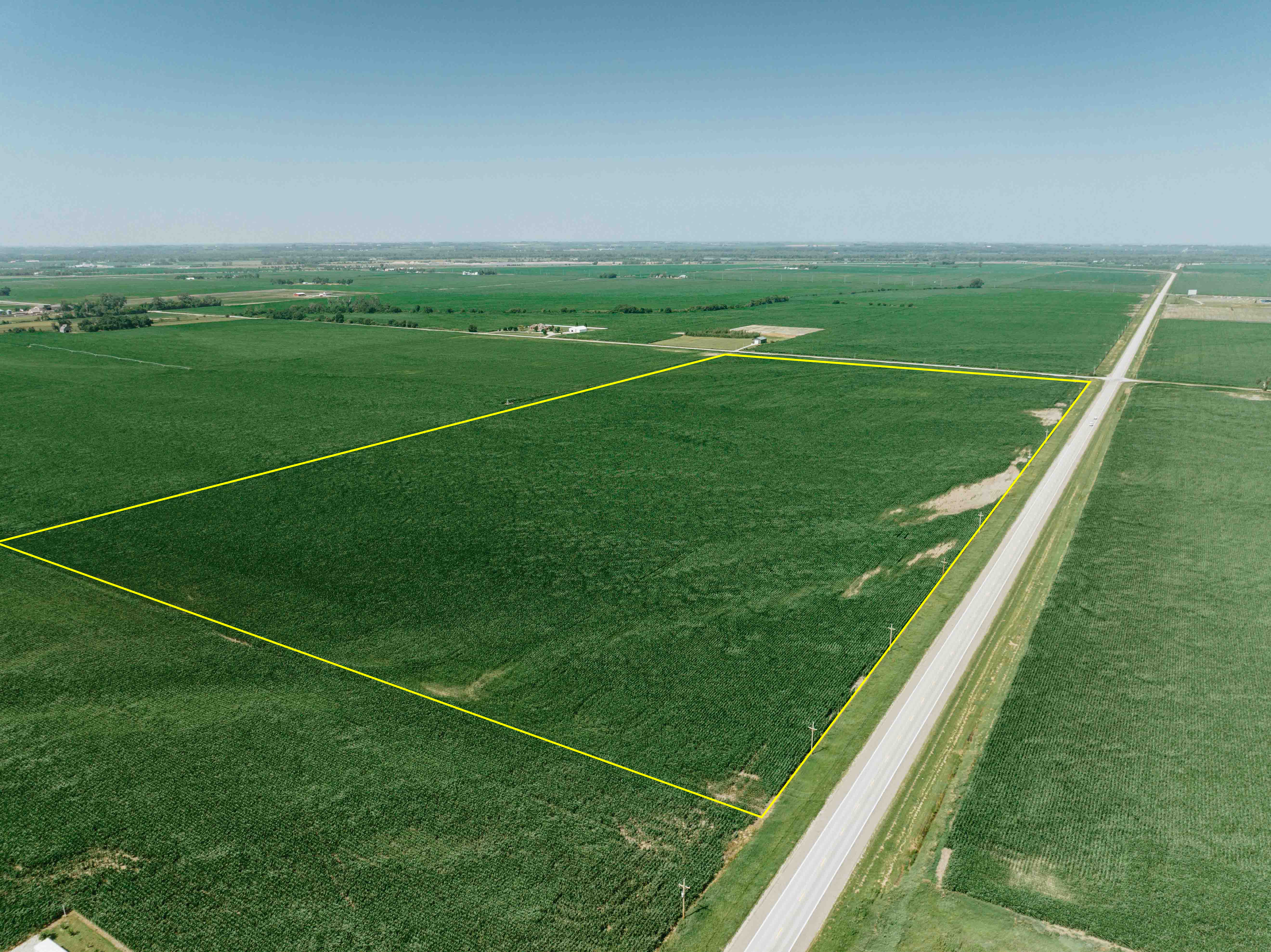
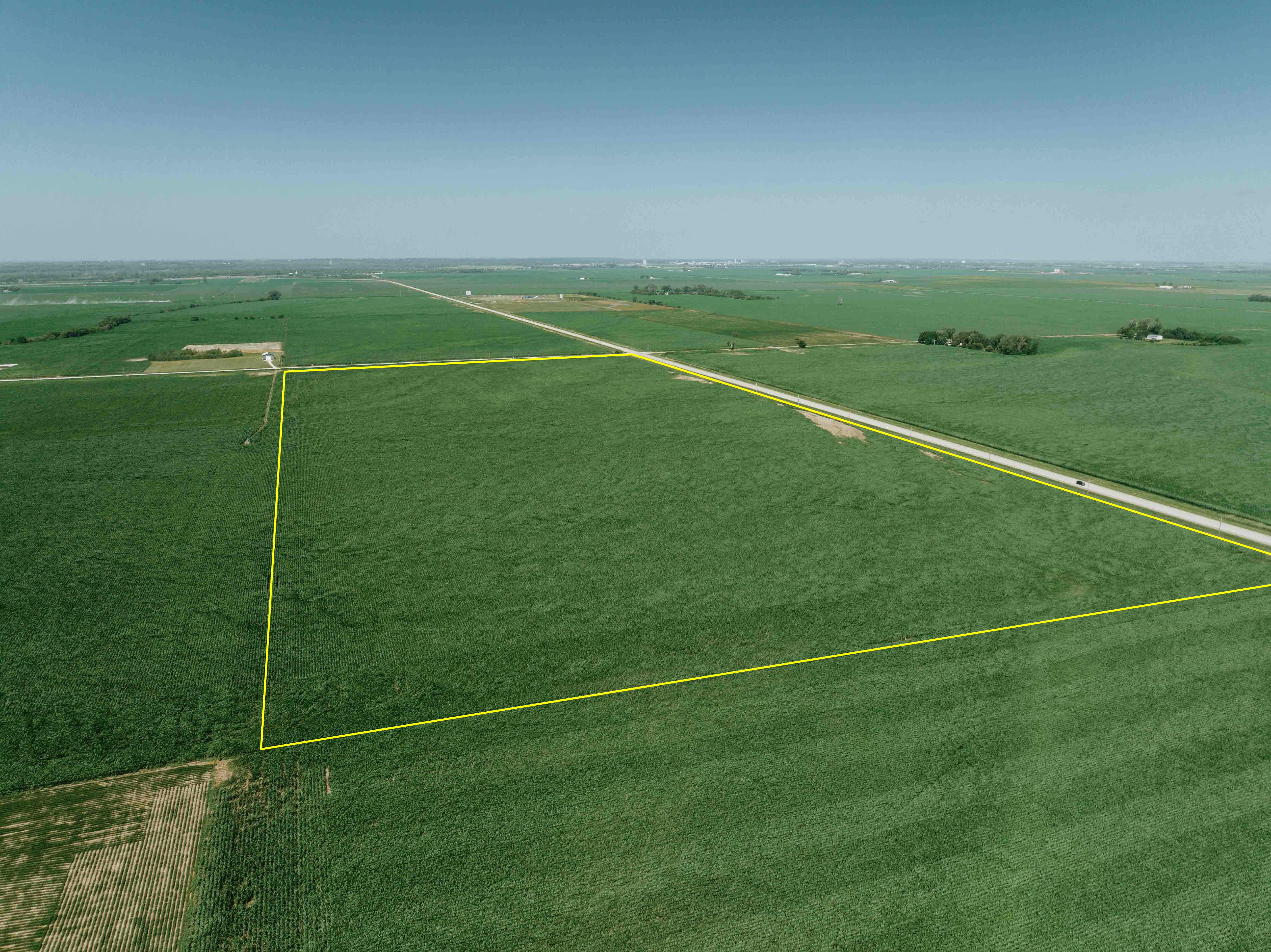
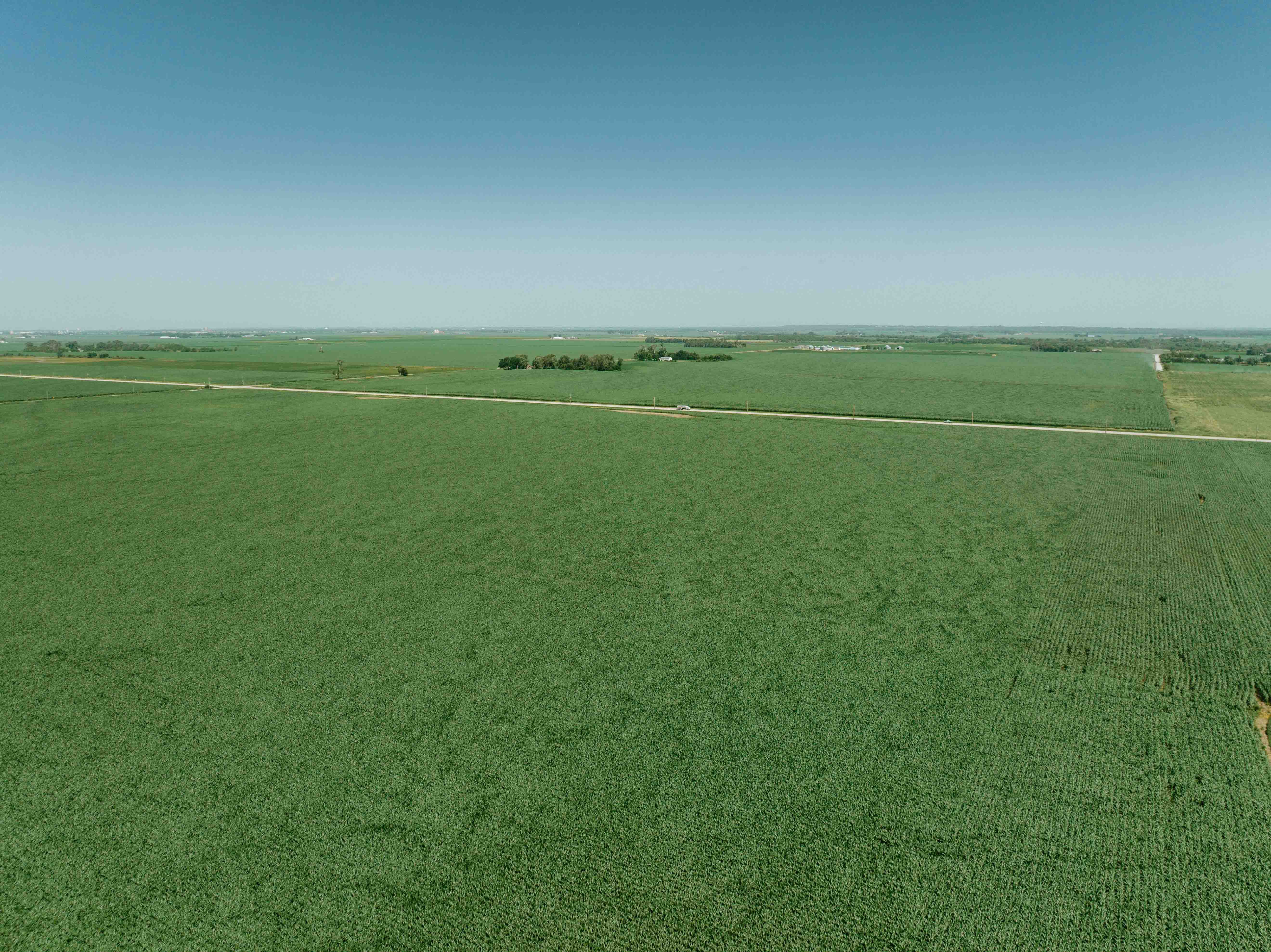
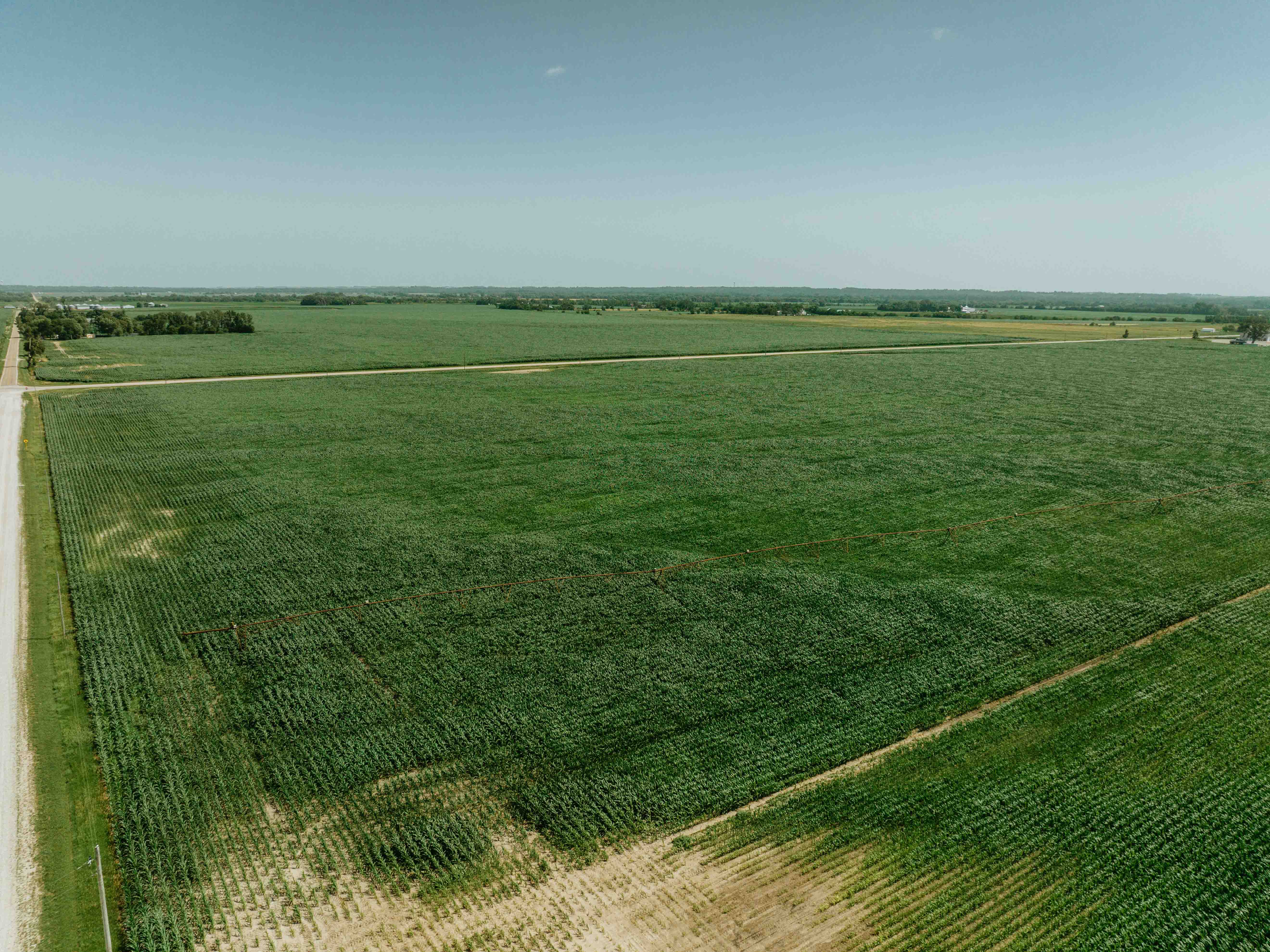
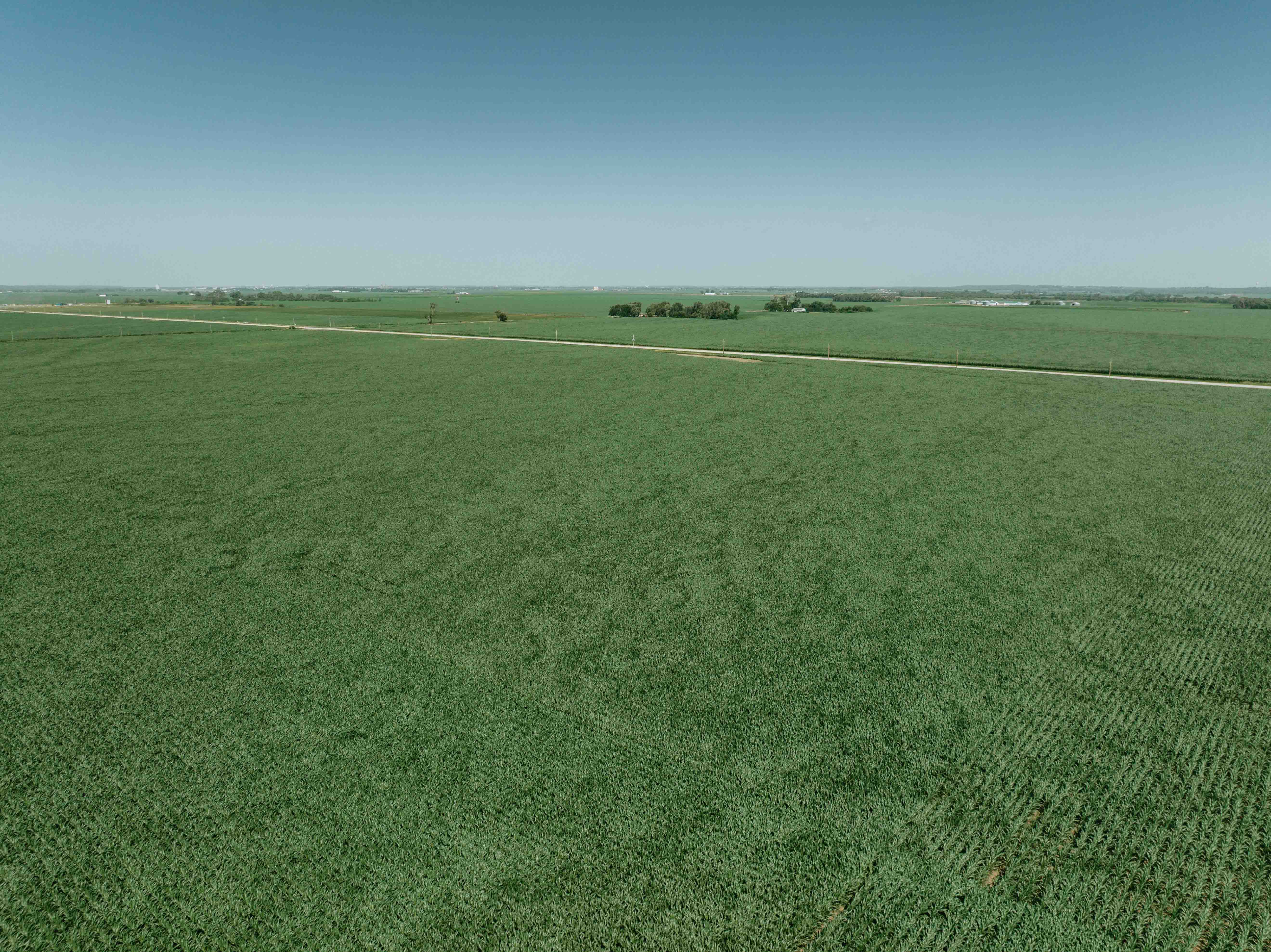
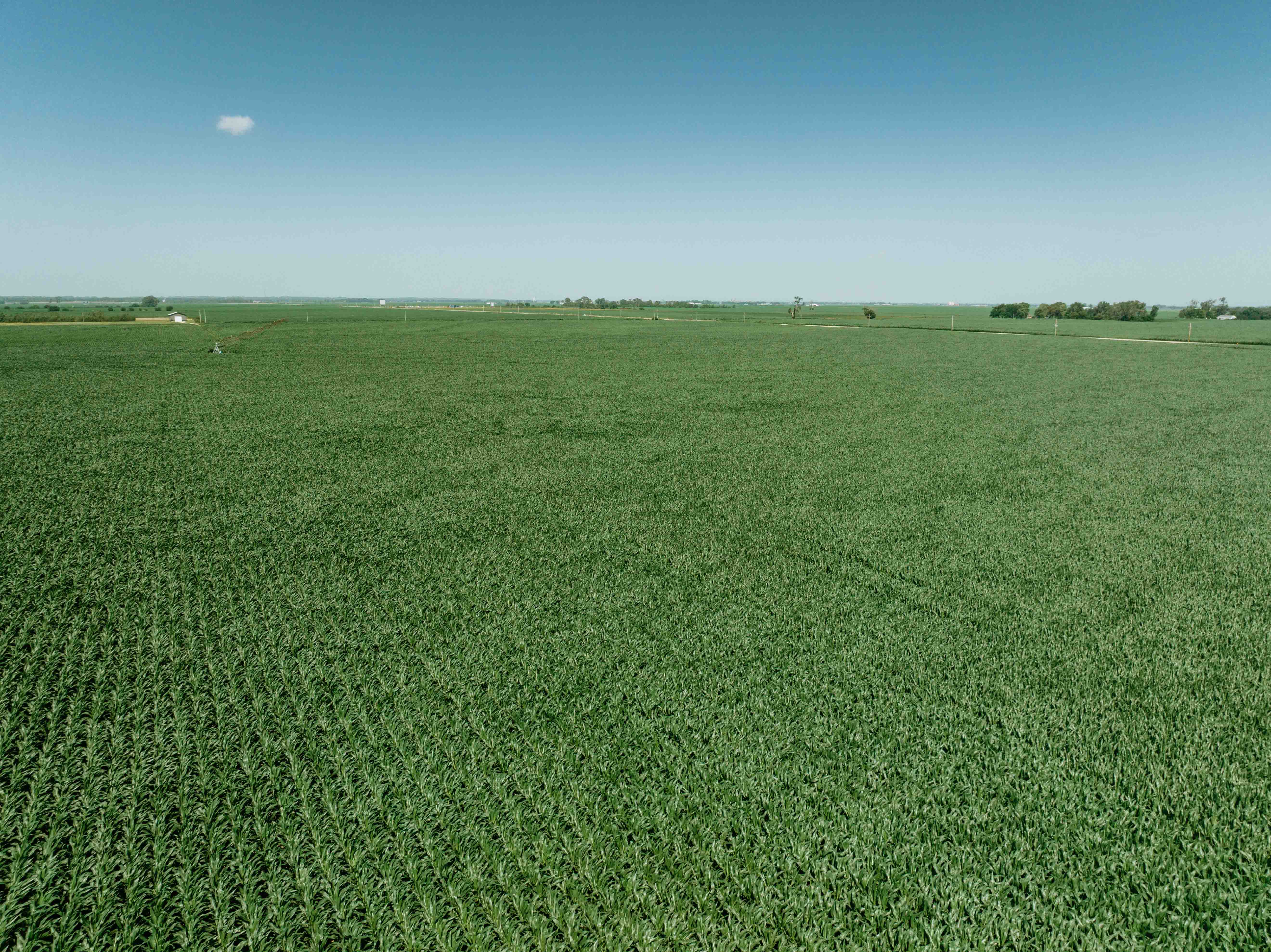
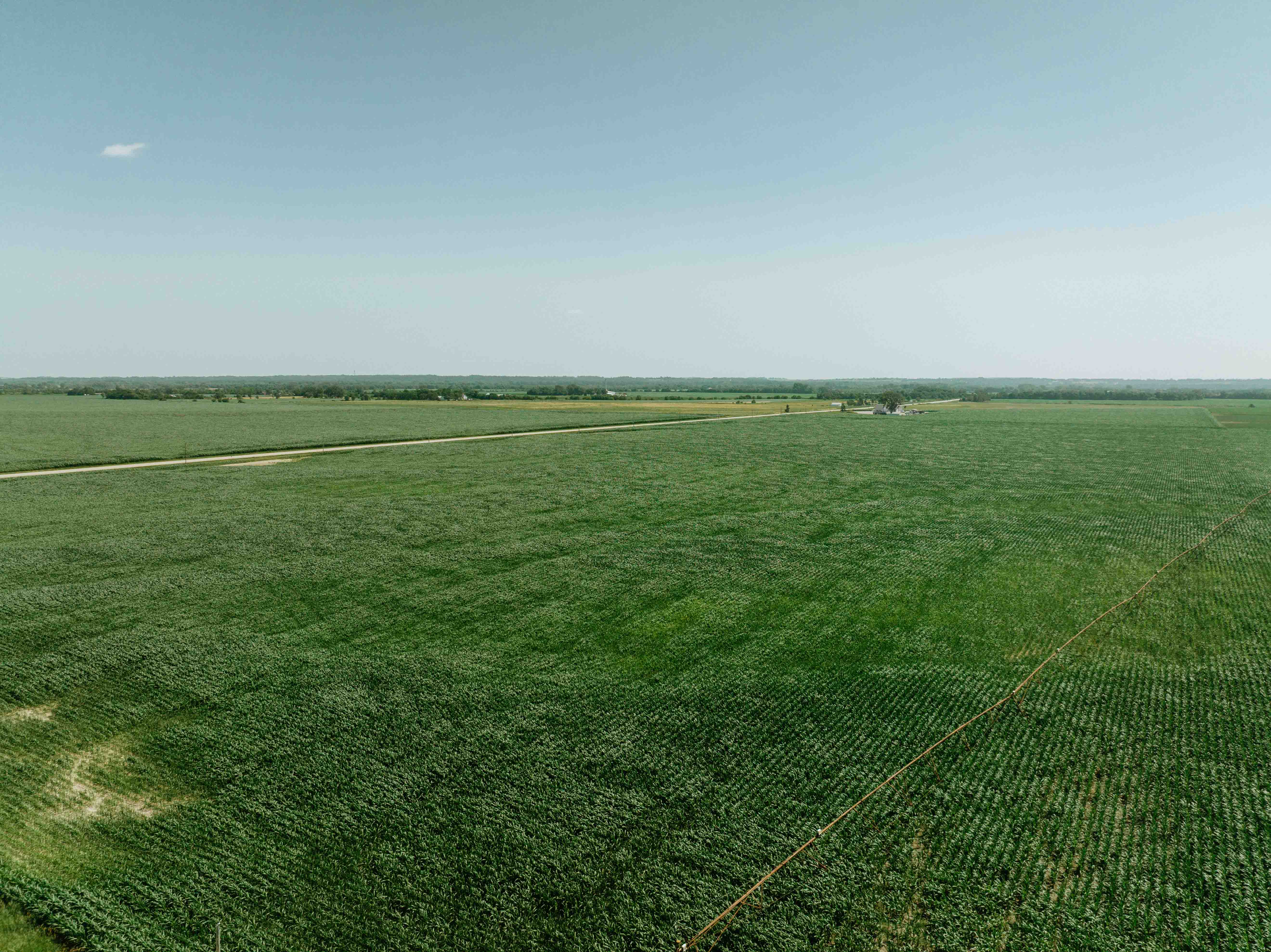
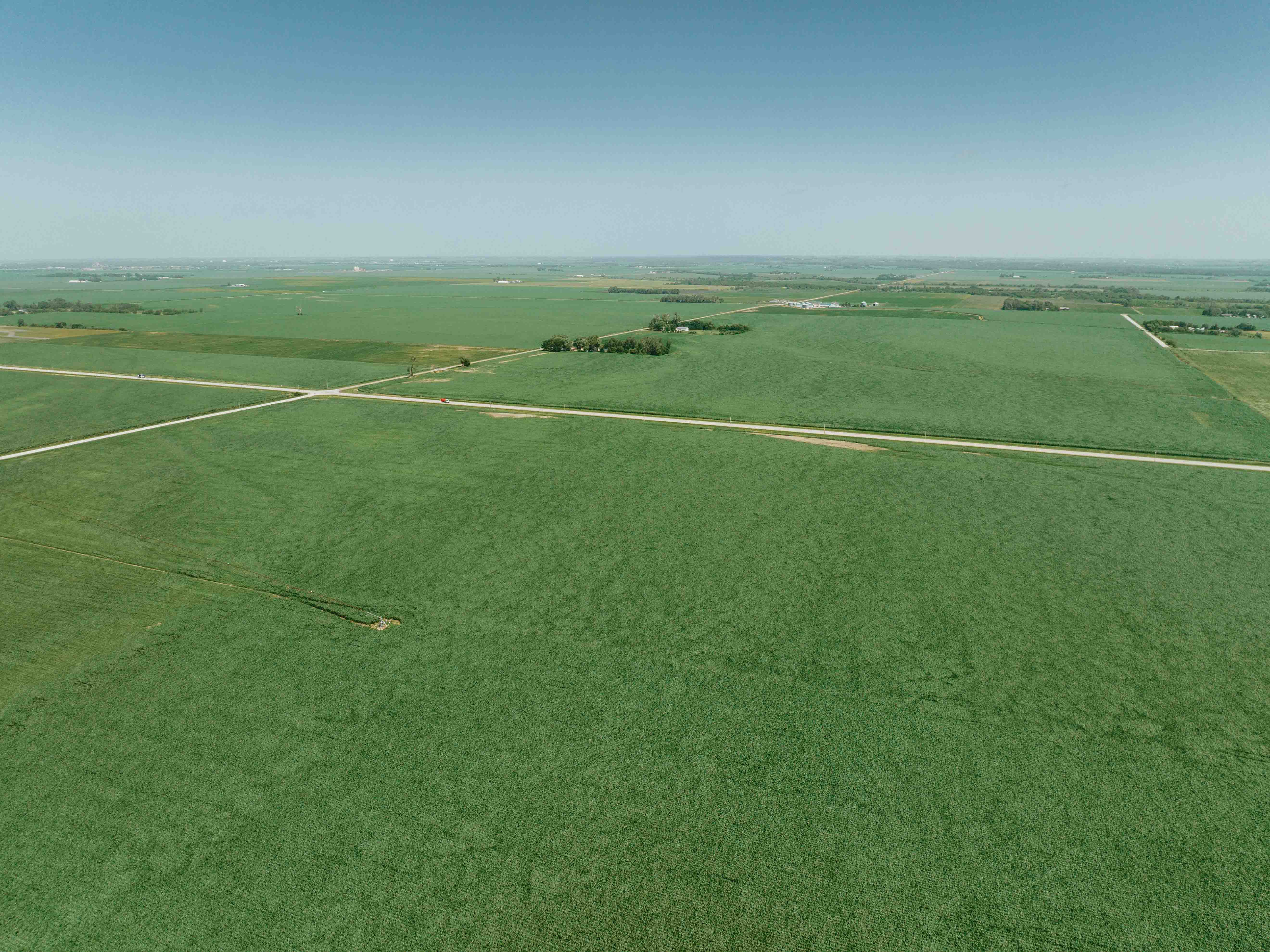
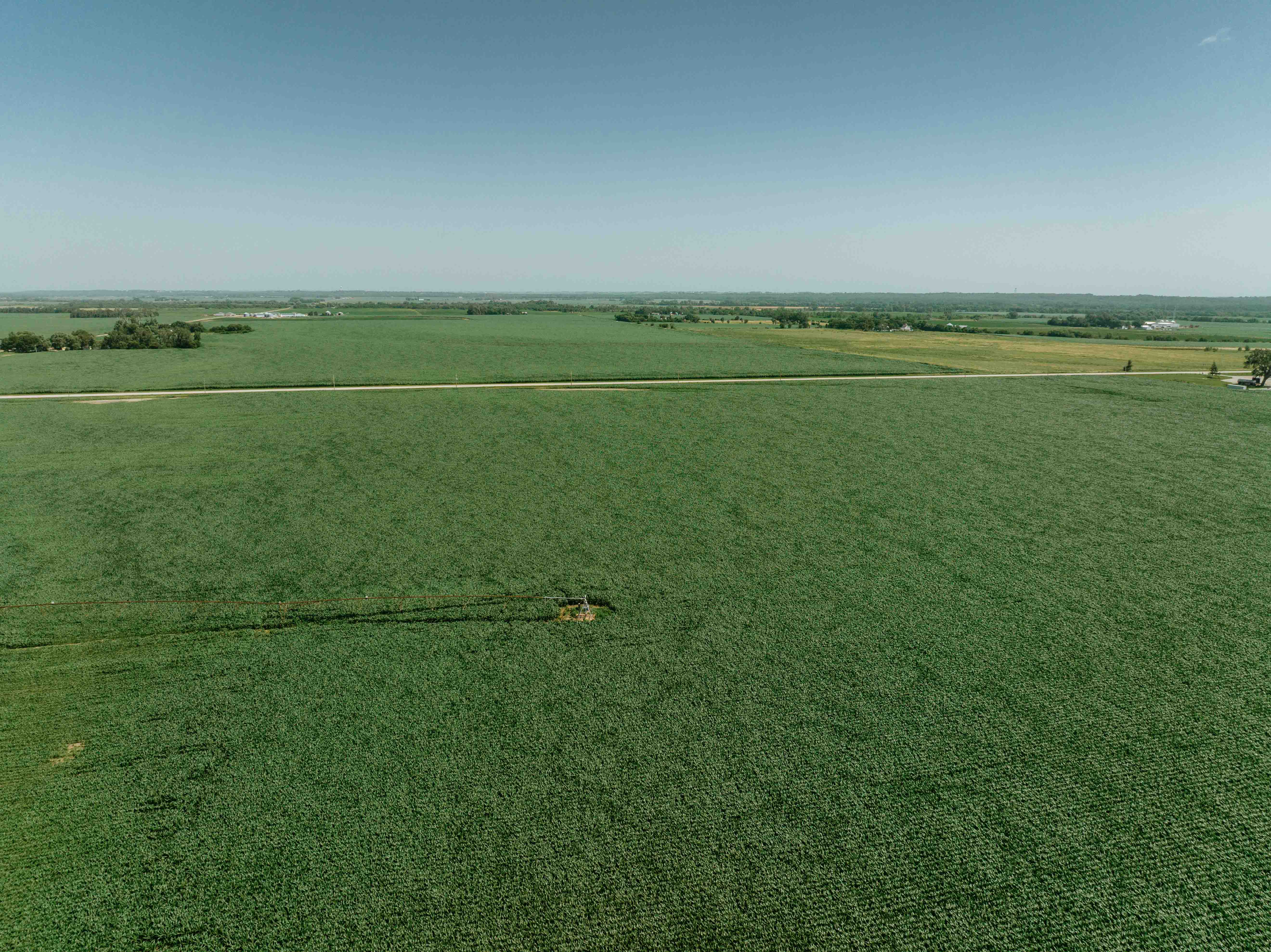
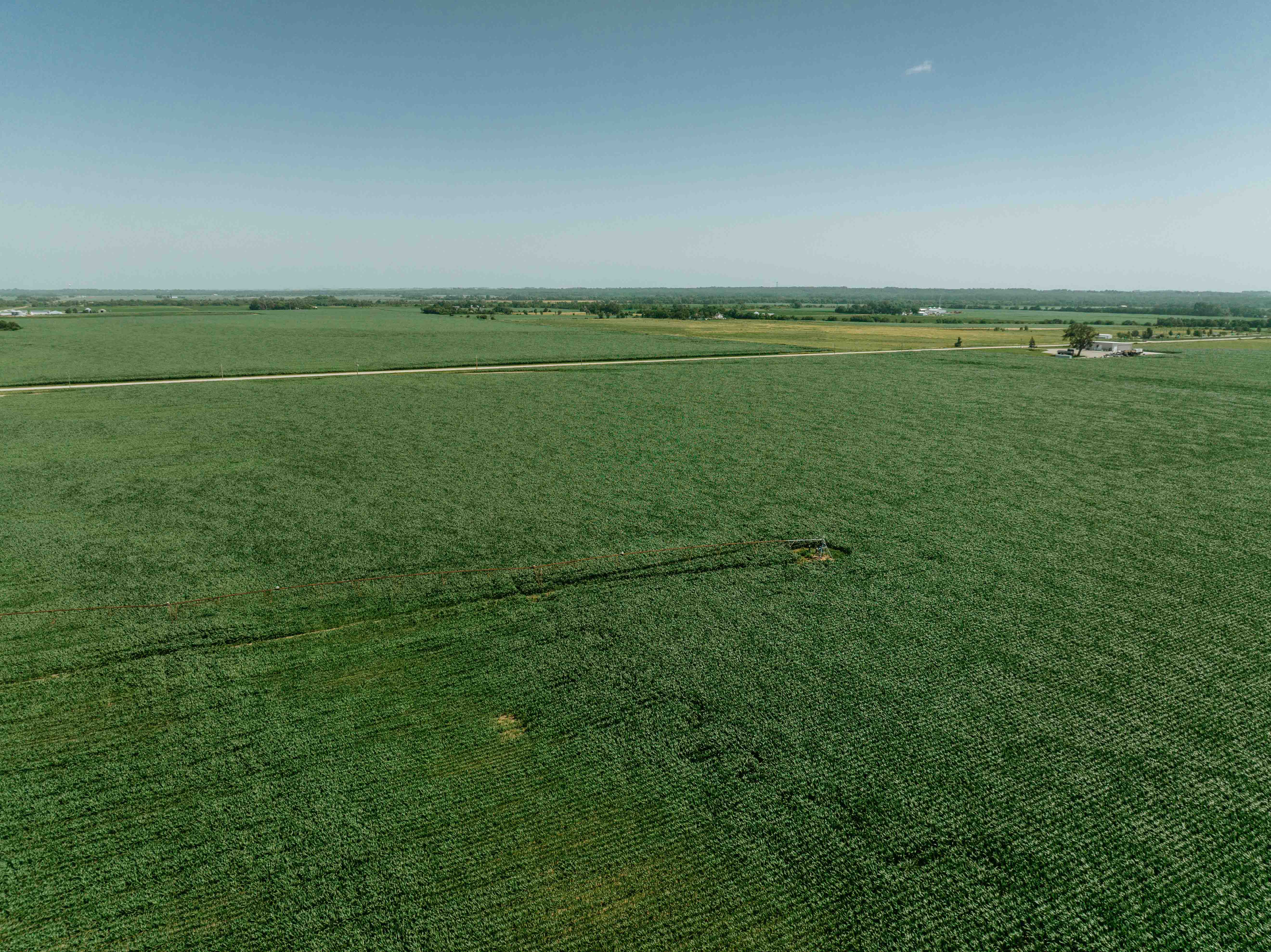
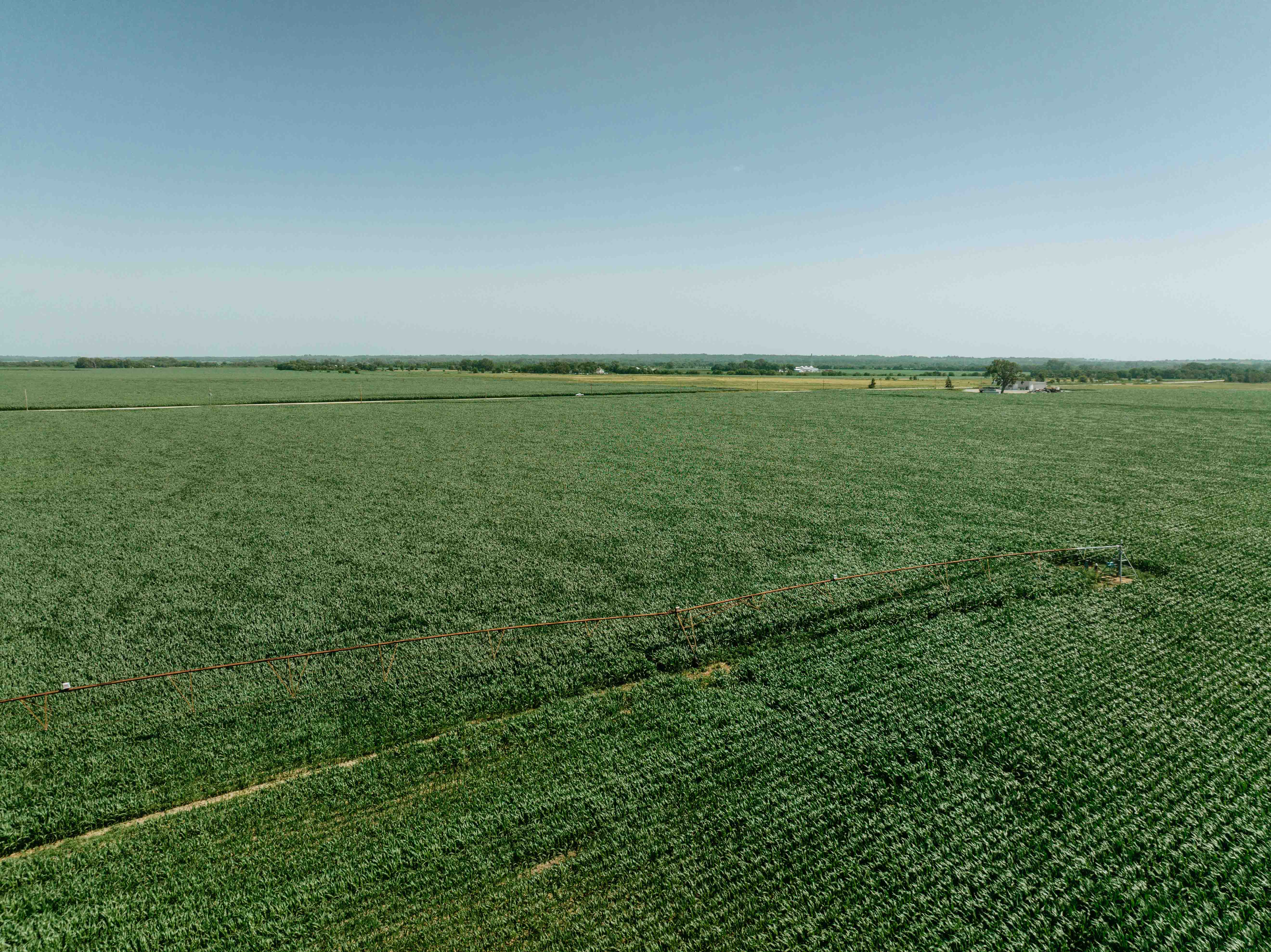
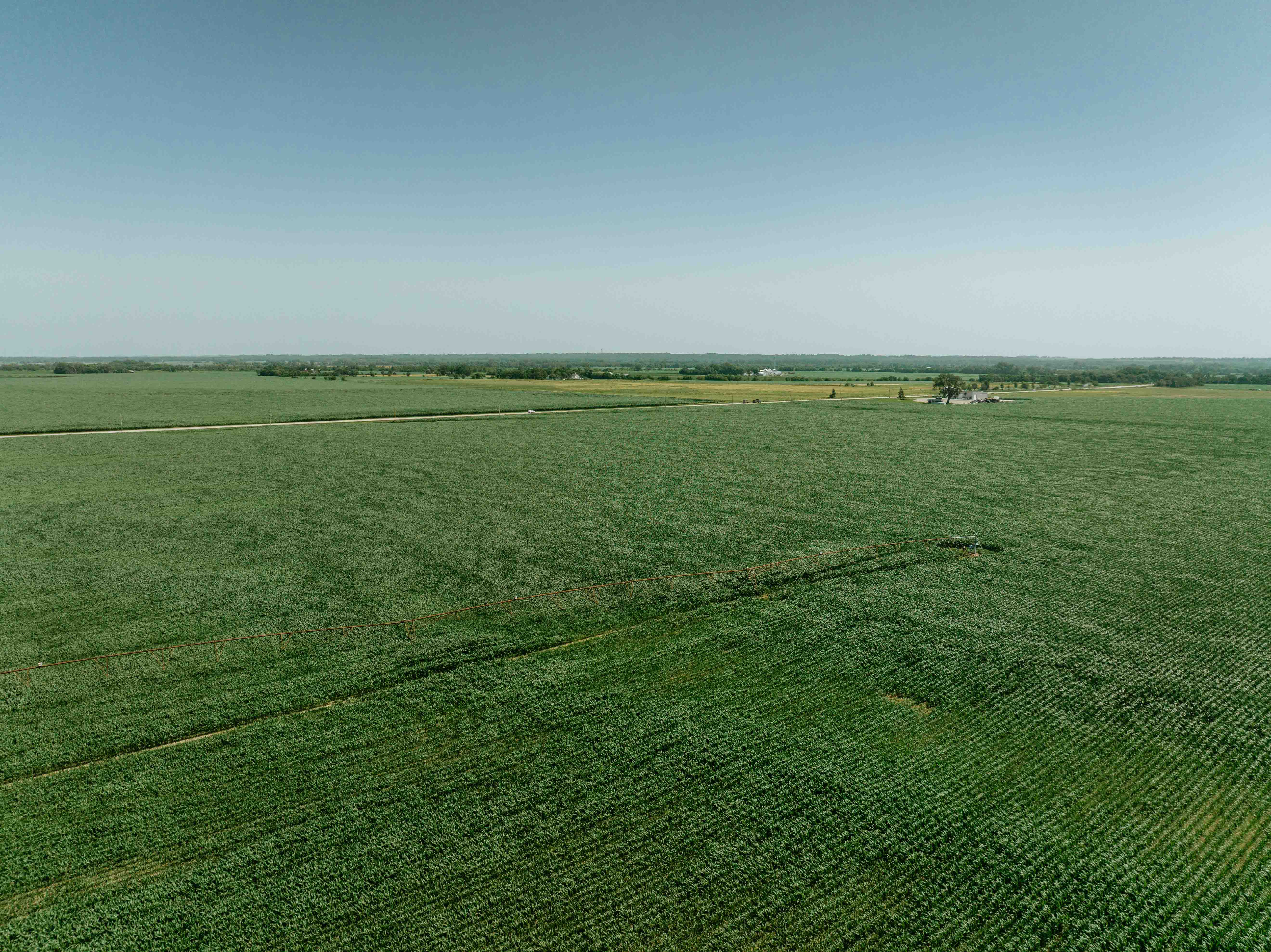
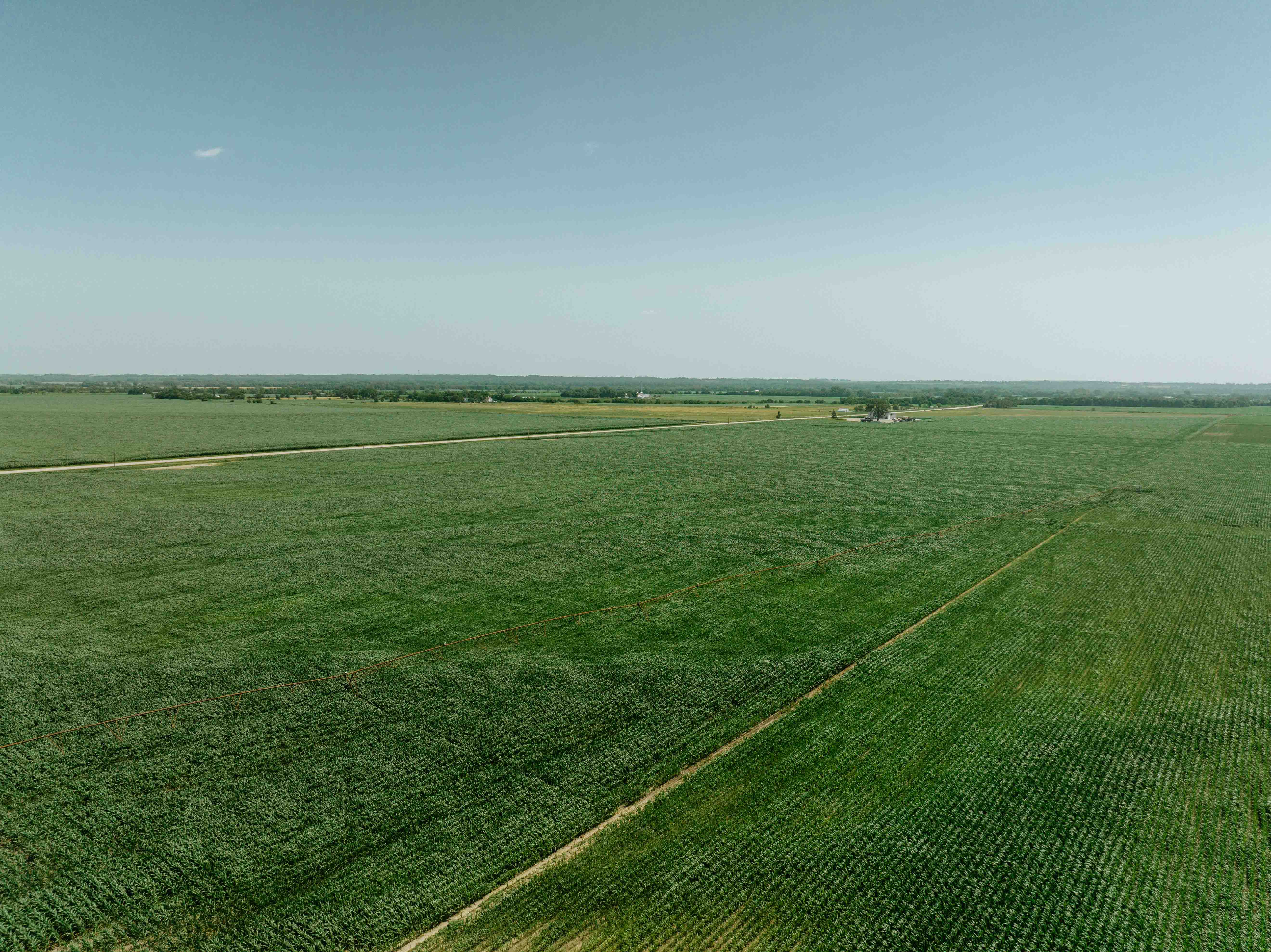
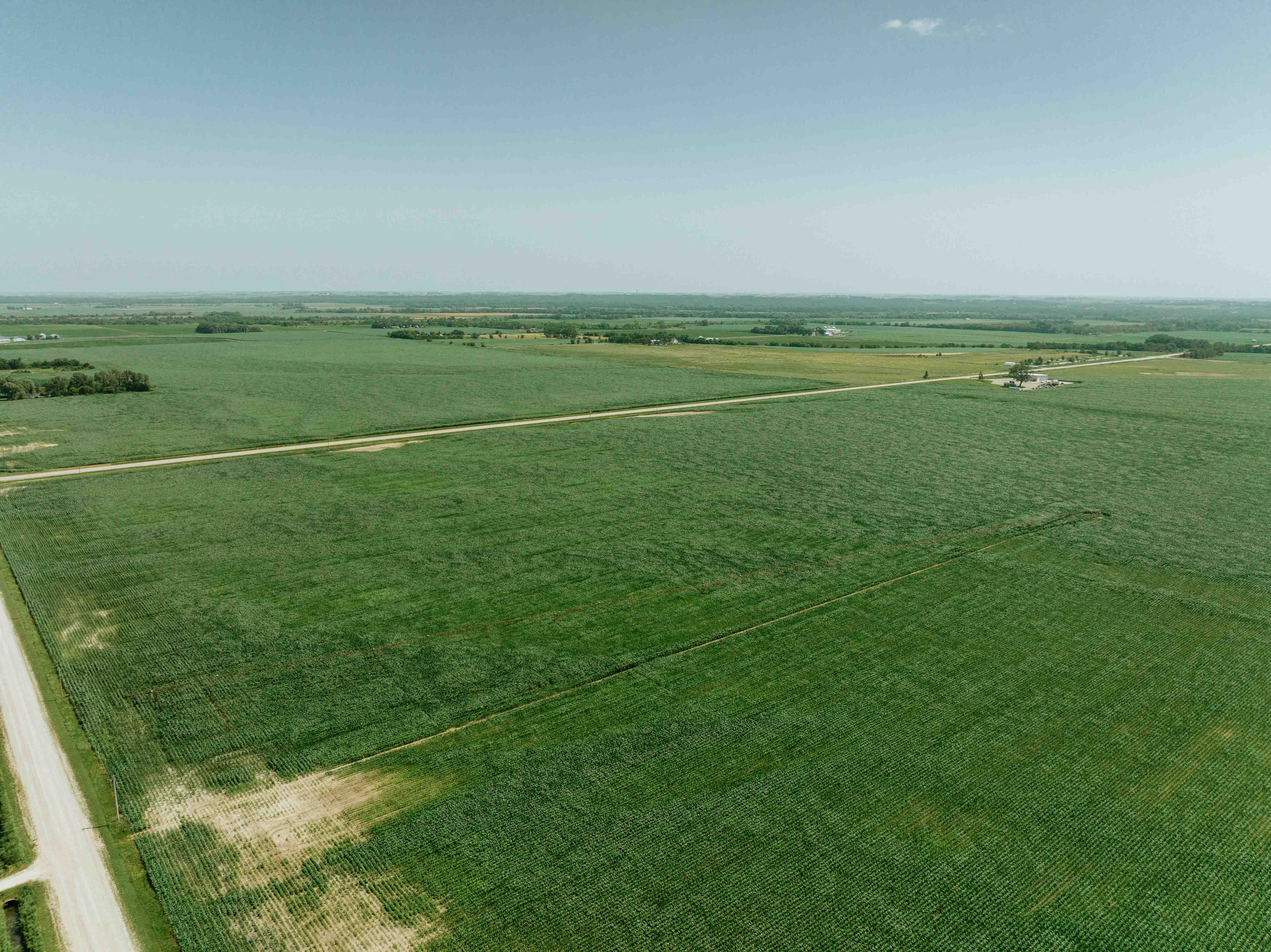
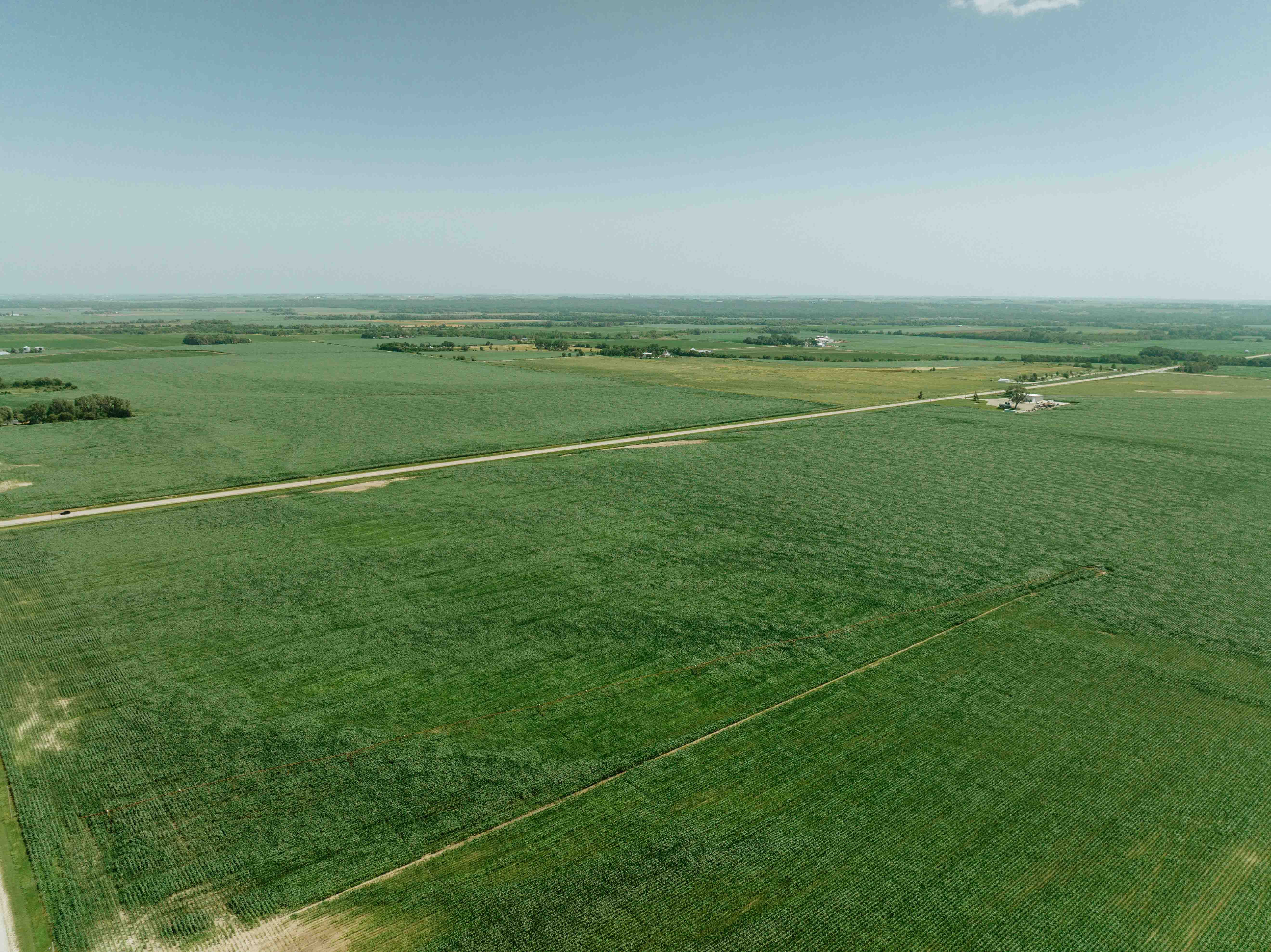
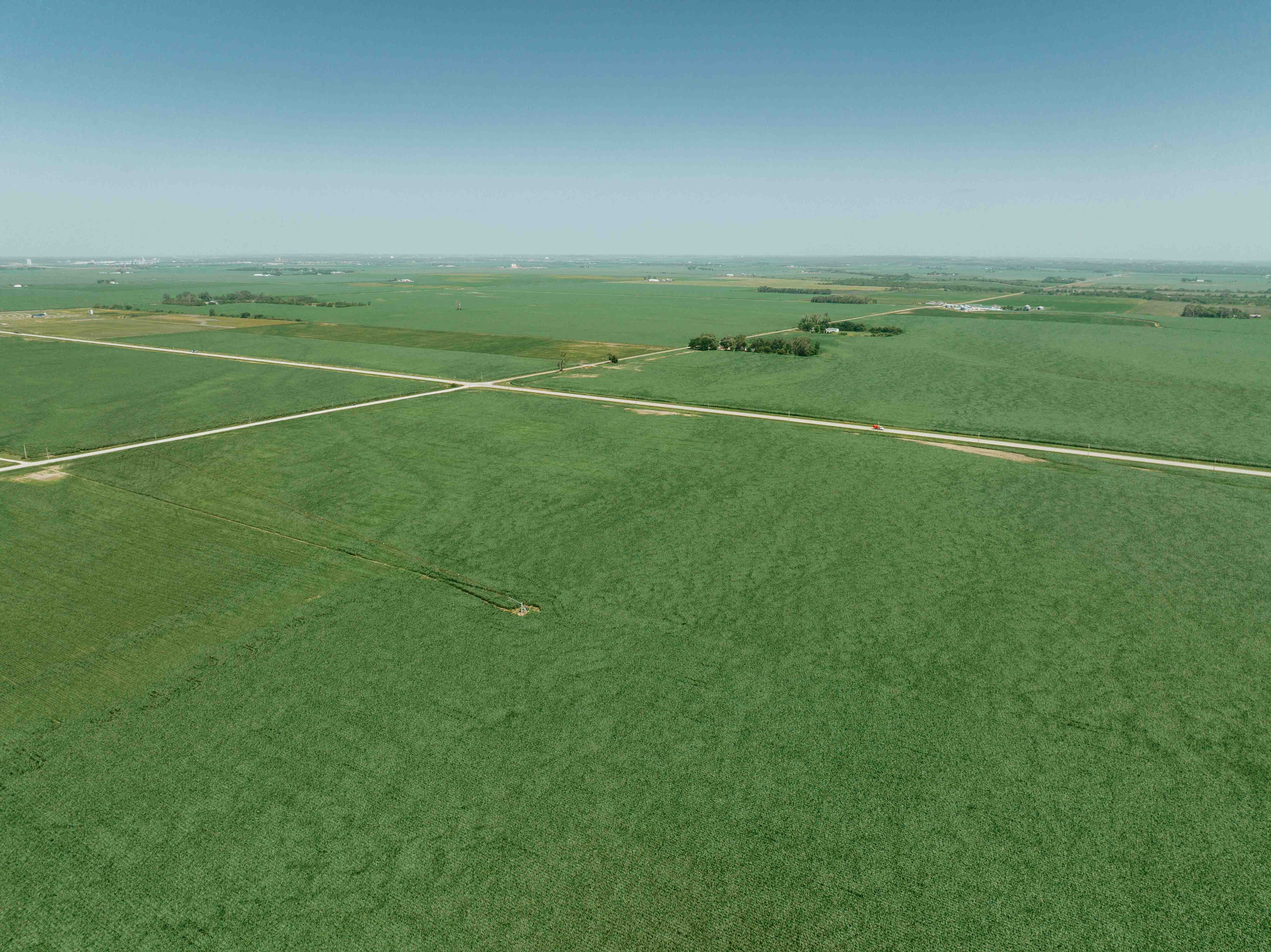
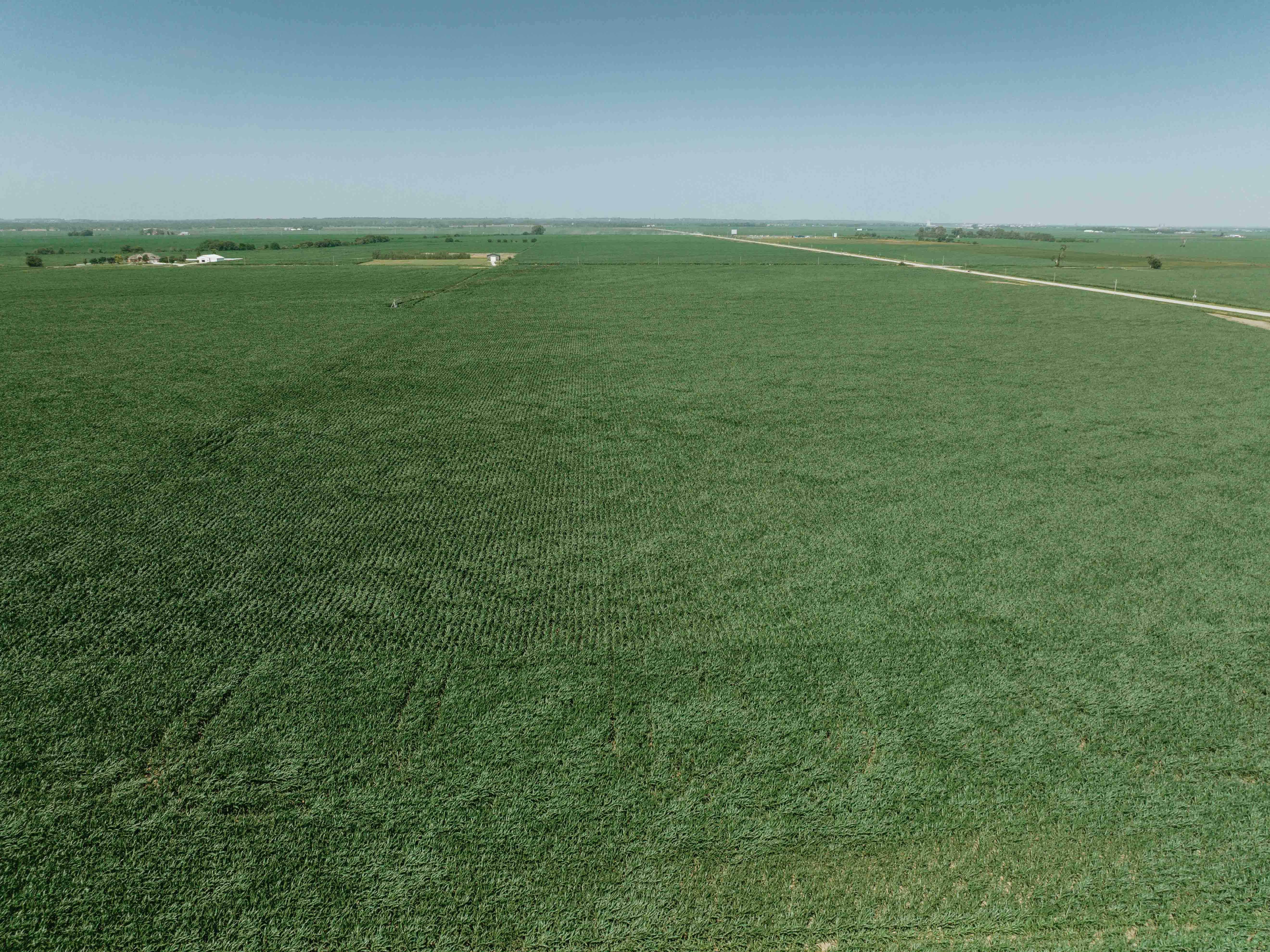
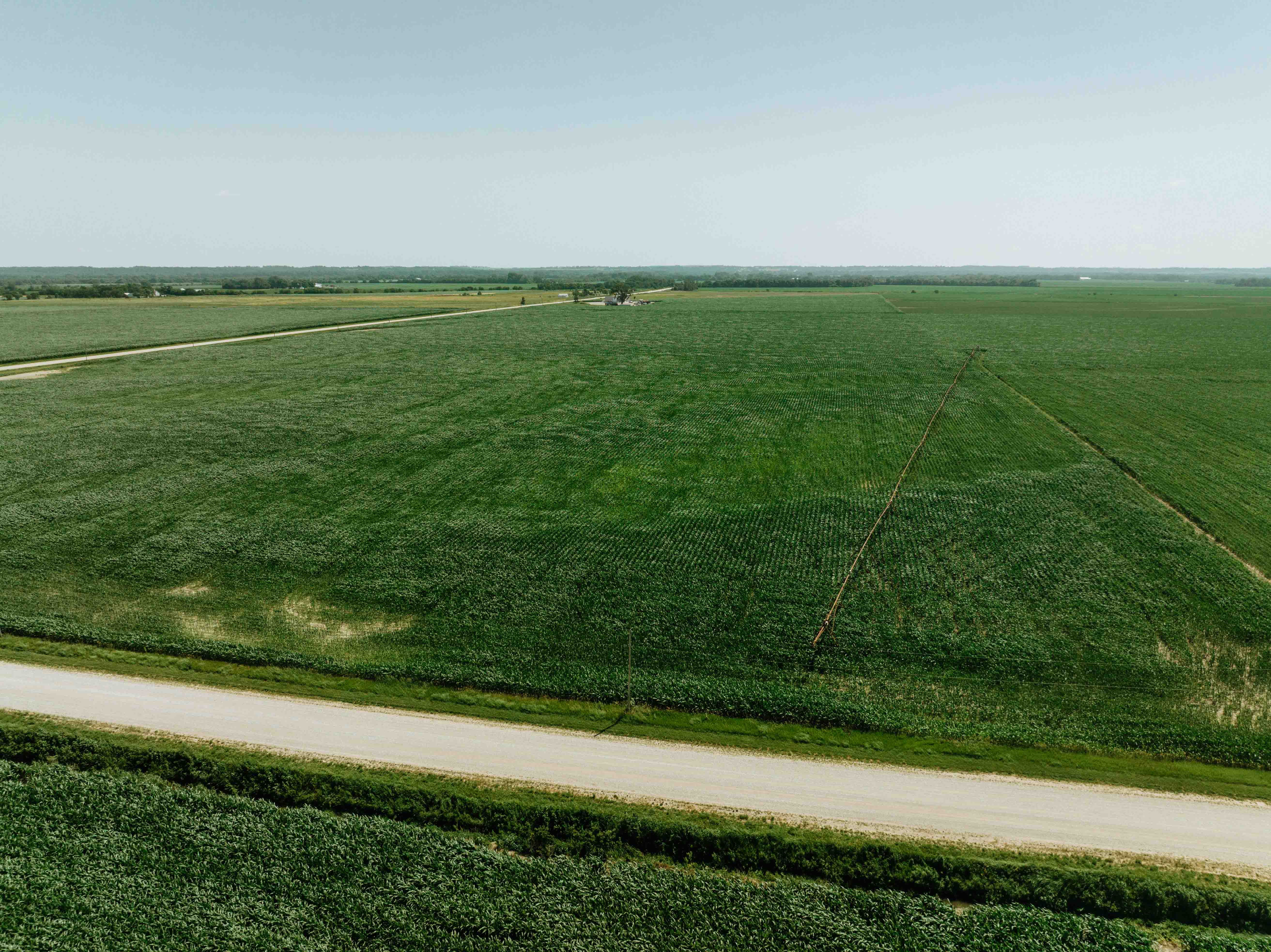
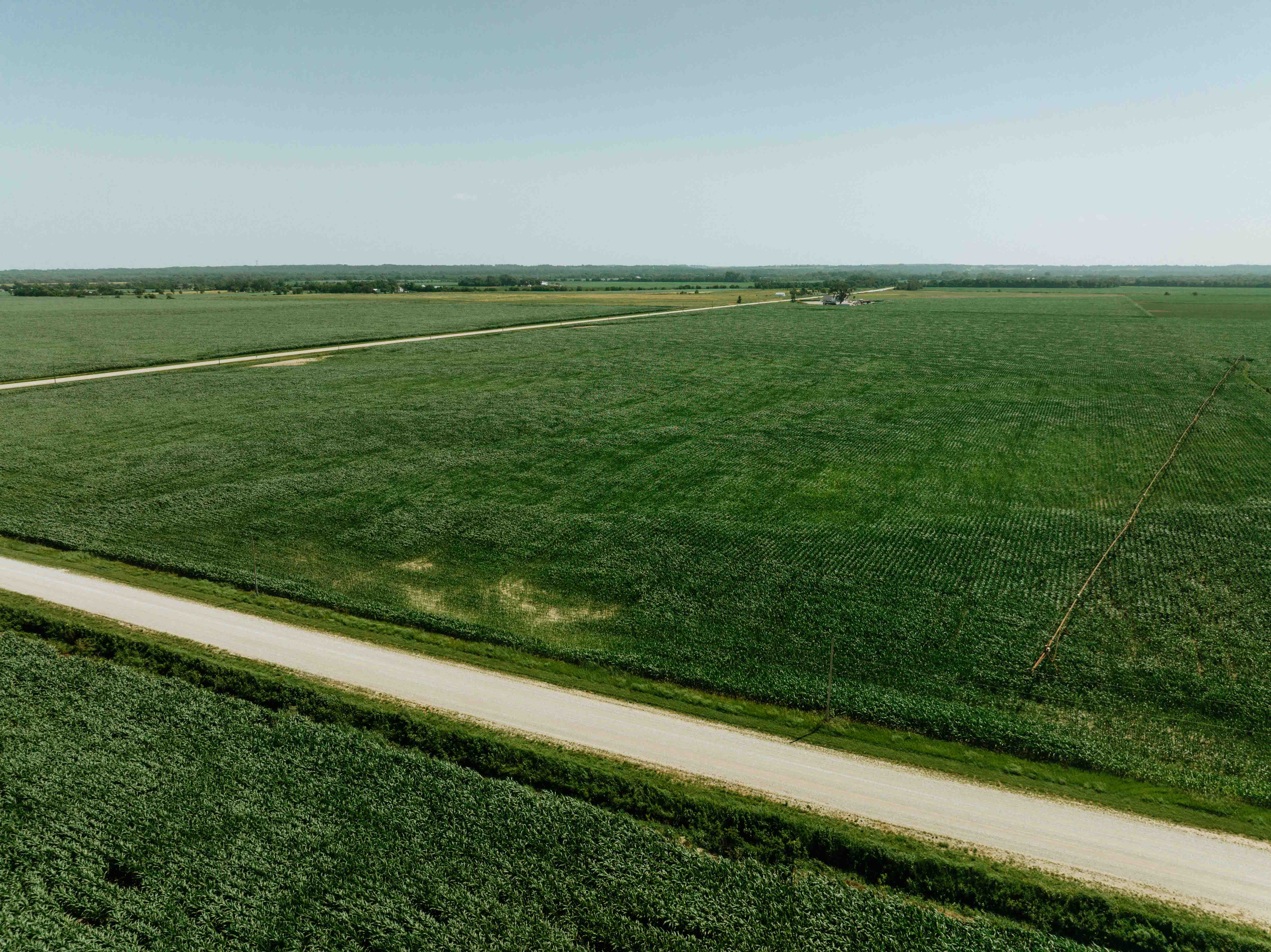
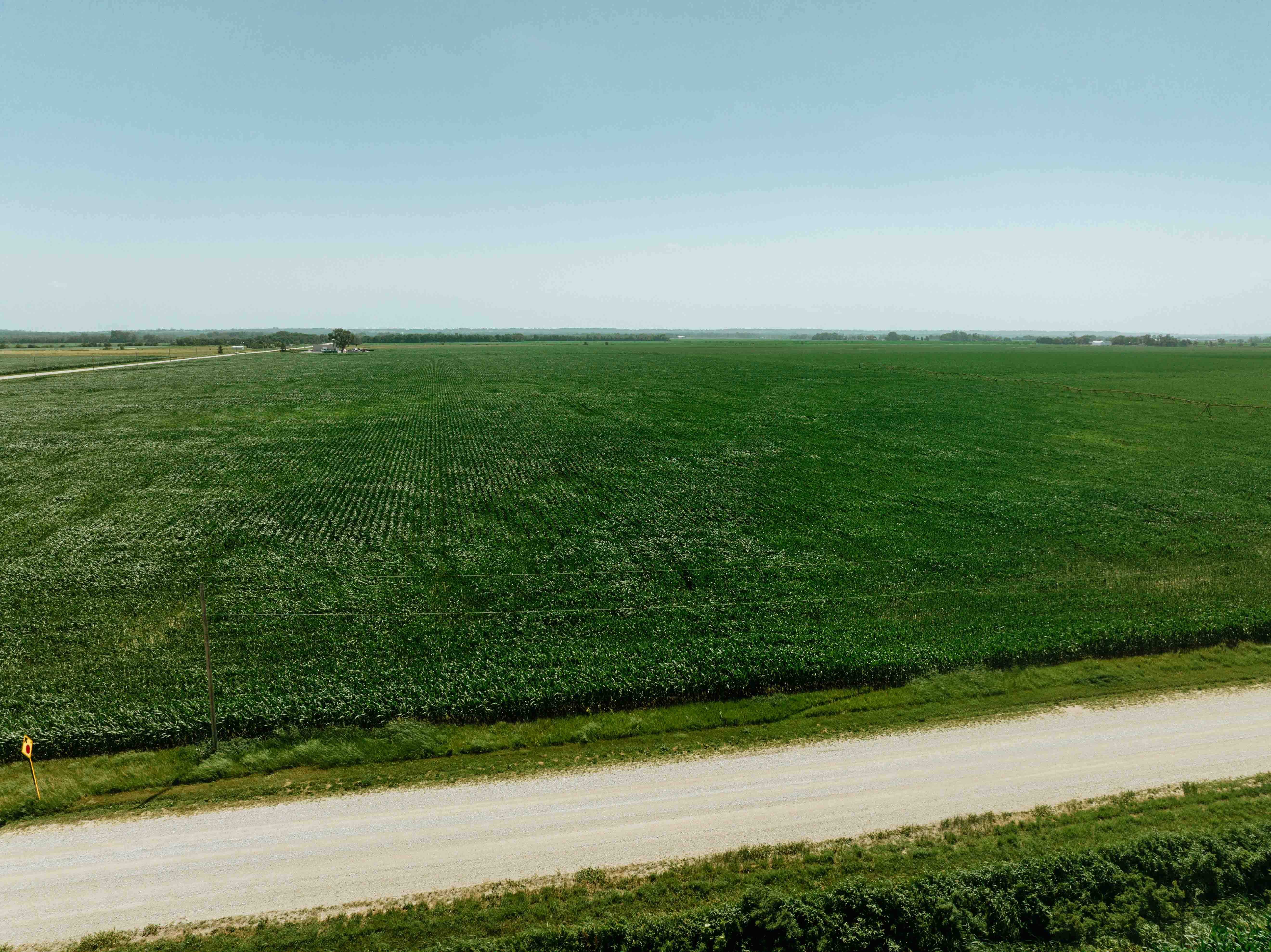
Opportunities to acquire quality farmland in western Douglas County are increasingly rare. Ideally located between Valley and Fremont, just east of Highway 275 with convenient access from Highway 36 and County Road 29, this productive 78+/- acre tract presents an outstanding opportunity for producers looking to expand their operation or investors seeking to add a quality agricultural asset to their portfolio.
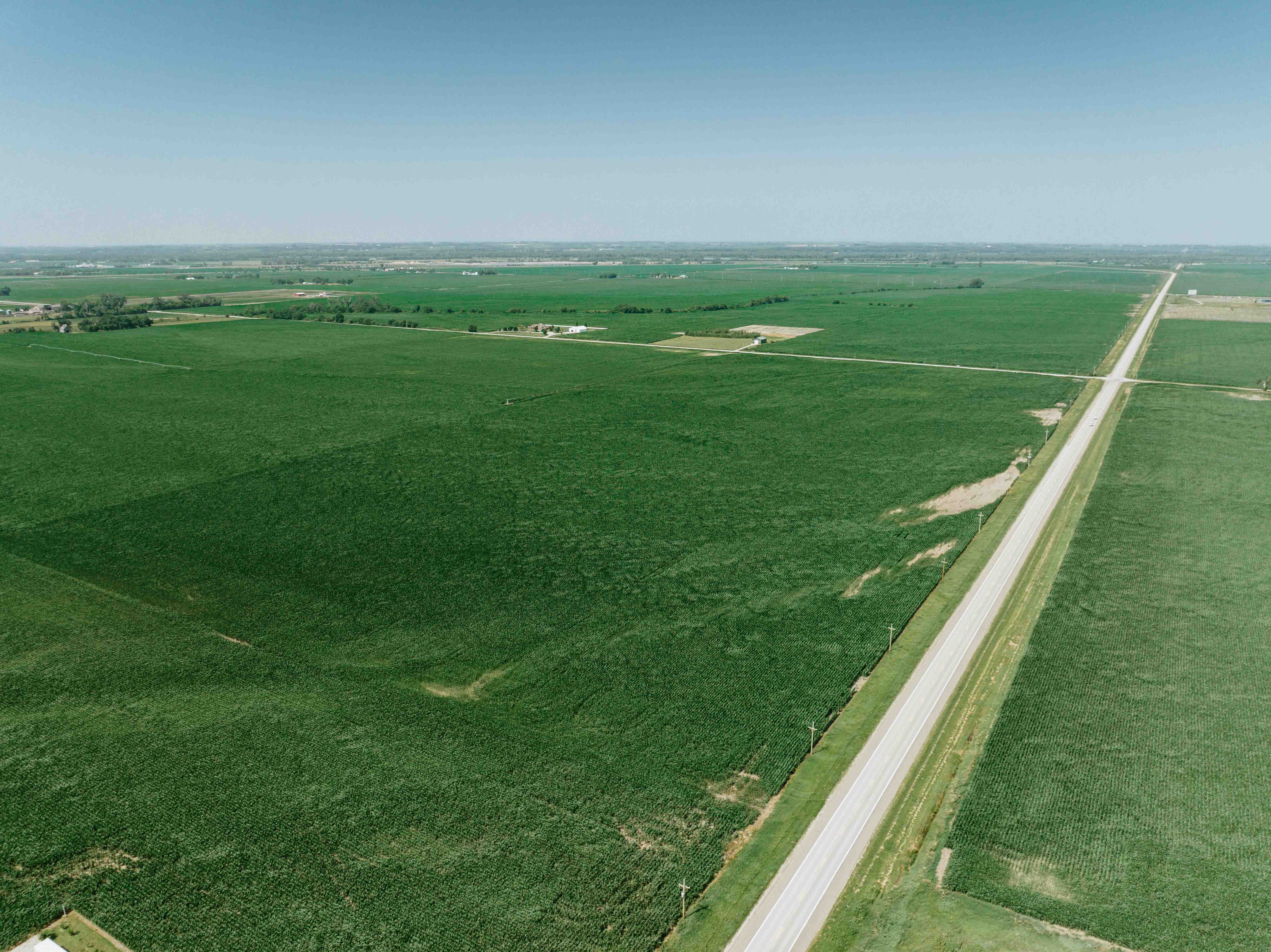
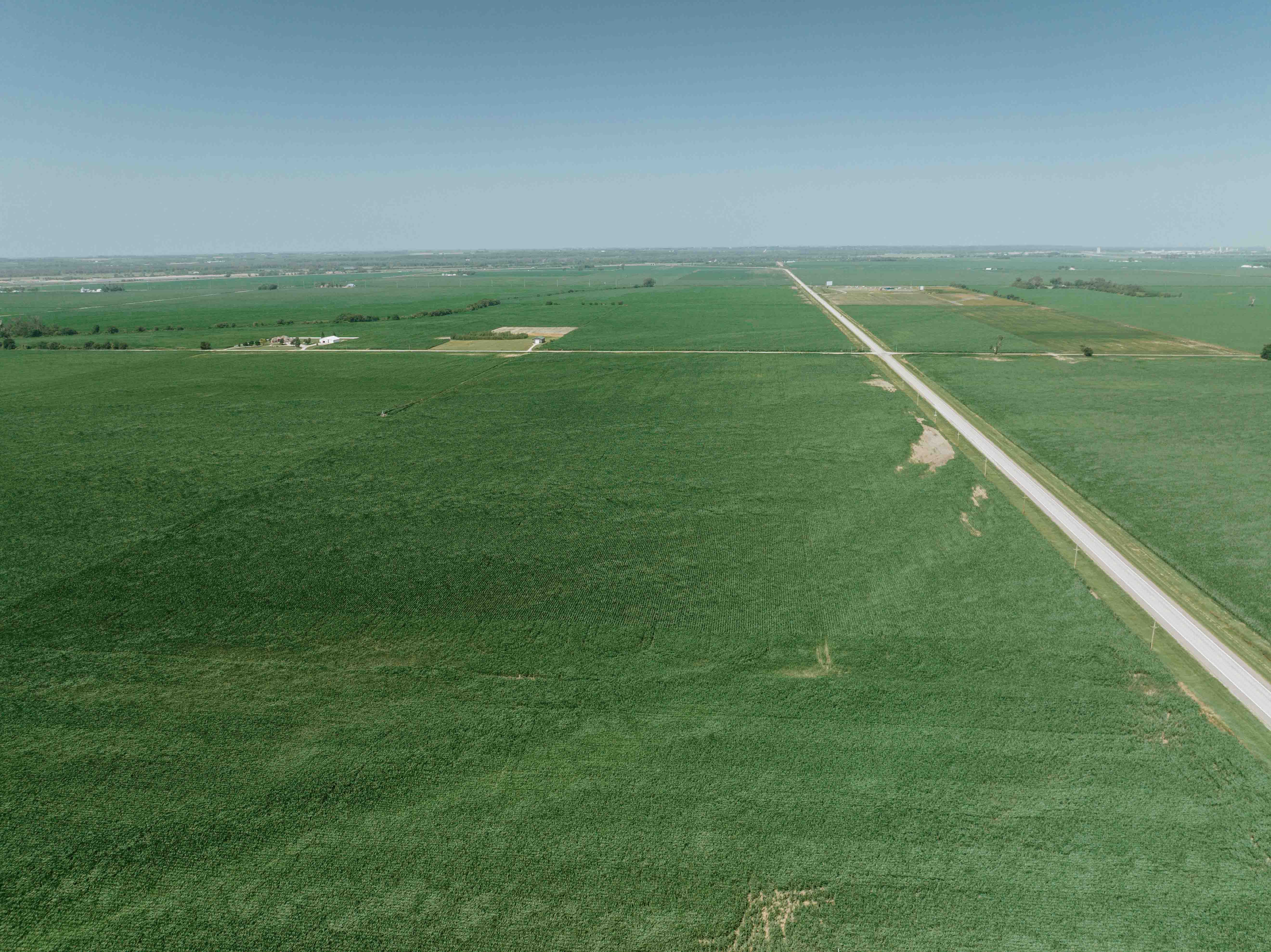
The property offers approximately 62.84 FSA cropland acres consisting of predominantly level, highly productive farmland with excellent accessibility by hard-surfaced roads and close proximity to several local grain markets. Its location allows for efficient farming operations while providing the long-term stability and investment potential that quality eastern Nebraska farmland has consistently demonstrated.
The soils consist primarily of Wann-Caruso-Inglewood Complex and Gibbon-Wann associations, complemented by areas of Gilliam-Eudora silty loam and sandy loam soils. The relatively level topography provides minimal surface runoff, allowing the property to retain valuable growing-season moisture. The farm carries an impressive NCCPI Overall Productivity Rating of 70.5, reflecting the property's strong agricultural capability and long-term productivity. The 2026 crop is currently planted to corn.
Current Farm Lease
The property is leased for the 2026 crop year and shall remain subject to the existing tenant's farming rights through completion of the 2026 growing season, including the harvest of all crops planted by the tenant. Should the property transfer ownership prior to harvest, the Buyer shall receive the Seller's interest in the existing lease, including any remaining lease payments associated with the 2026 crop year.
The current tenant has expressed interest in continuing to farm the property beyond the 2026 crop season. Any future lease agreement shall be negotiated directly between the Buyer and the tenant and shall be based upon terms mutually acceptable to both parties. The Seller makes no representations or guarantees regarding any future lease arrangement.
Additional Property Information
Wetland Classification: PEM1A – Freshwater Emergent Wetland
FEMA Flood Hazard Designation: 0.2% Annual Chance Flood Hazard
Access: Highway 36 and County Road 29 (Hard-Surfaced Roads)
Whether you are expanding an existing farming operation, completing a 1031 Exchange, or investing in productive Nebraska farmland, this property represents an exceptional opportunity to acquire quality agricultural land in an area where offerings of this caliber seldom become available.
Properties of this size and quality, located within one of eastern Nebraska's strongest agricultural regions, rarely become available for purchase. Whether held for long-term appreciation, income production, or expansion of an existing operation, this farm represents an investment in productive Nebraska land that can be appreciated for generations.
The property offers approximately 62.84 FSA cropland acres consisting of predominantly level, highly productive farmland with excellent accessibility by hard-surfaced roads and close proximity to several local grain markets. Its location allows for efficient farming operations while providing the long-term stability and investment potential that quality eastern Nebraska farmland has consistently demonstrated.
The soils consist primarily of Wann-Caruso-Inglewood Complex and Gibbon-Wann associations, complemented by areas of Gilliam-Eudora silty loam and sandy loam soils. The relatively level topography provides minimal surface runoff, allowing the property to retain valuable growing-season moisture. The farm carries an impressive NCCPI Overall Productivity Rating of 70.5, reflecting the property's strong agricultural capability and long-term productivity. The 2026 crop is currently planted to corn.
Current Farm Lease
The property is leased for the 2026 crop year and shall remain subject to the existing tenant's farming rights through completion of the 2026 growing season, including the harvest of all crops planted by the tenant. Should the property transfer ownership prior to harvest, the Buyer shall receive the Seller's interest in the existing lease, including any remaining lease payments associated with the 2026 crop year.
The current tenant has expressed interest in continuing to farm the property beyond the 2026 crop season. Any future lease agreement shall be negotiated directly between the Buyer and the tenant and shall be based upon terms mutually acceptable to both parties. The Seller makes no representations or guarantees regarding any future lease arrangement.
Additional Property Information
Wetland Classification: PEM1A – Freshwater Emergent Wetland
FEMA Flood Hazard Designation: 0.2% Annual Chance Flood Hazard
Access: Highway 36 and County Road 29 (Hard-Surfaced Roads)
Whether you are expanding an existing farming operation, completing a 1031 Exchange, or investing in productive Nebraska farmland, this property represents an exceptional opportunity to acquire quality agricultural land in an area where offerings of this caliber seldom become available.
Properties of this size and quality, located within one of eastern Nebraska's strongest agricultural regions, rarely become available for purchase. Whether held for long-term appreciation, income production, or expansion of an existing operation, this farm represents an investment in productive Nebraska land that can be appreciated for generations.
Lot Description
Farmland
Current Use
Agriculture
Minerals Information
Oil and Gas
Water
Wind
- Oil and Gas % Owned
- 100
- Water % Owned
- 100
- Wind % Owned
- 100
Property Tax Exemption
No
Street/Utilities Information
No City Services
Mortgage Options
Conventional Mortgage
Agricultural Uses
Row Crop
Row Crop Type(s)
Corn
Hay
Soy
Legal Address
Parcel # 0101500000, Douglas County, NE., LANDS SEC-TWN-RGE 12-16-09-EX STATE H/W-N1/2 NW1/4 77.68 AC
GIS Parcel Id
0101500000
Directions
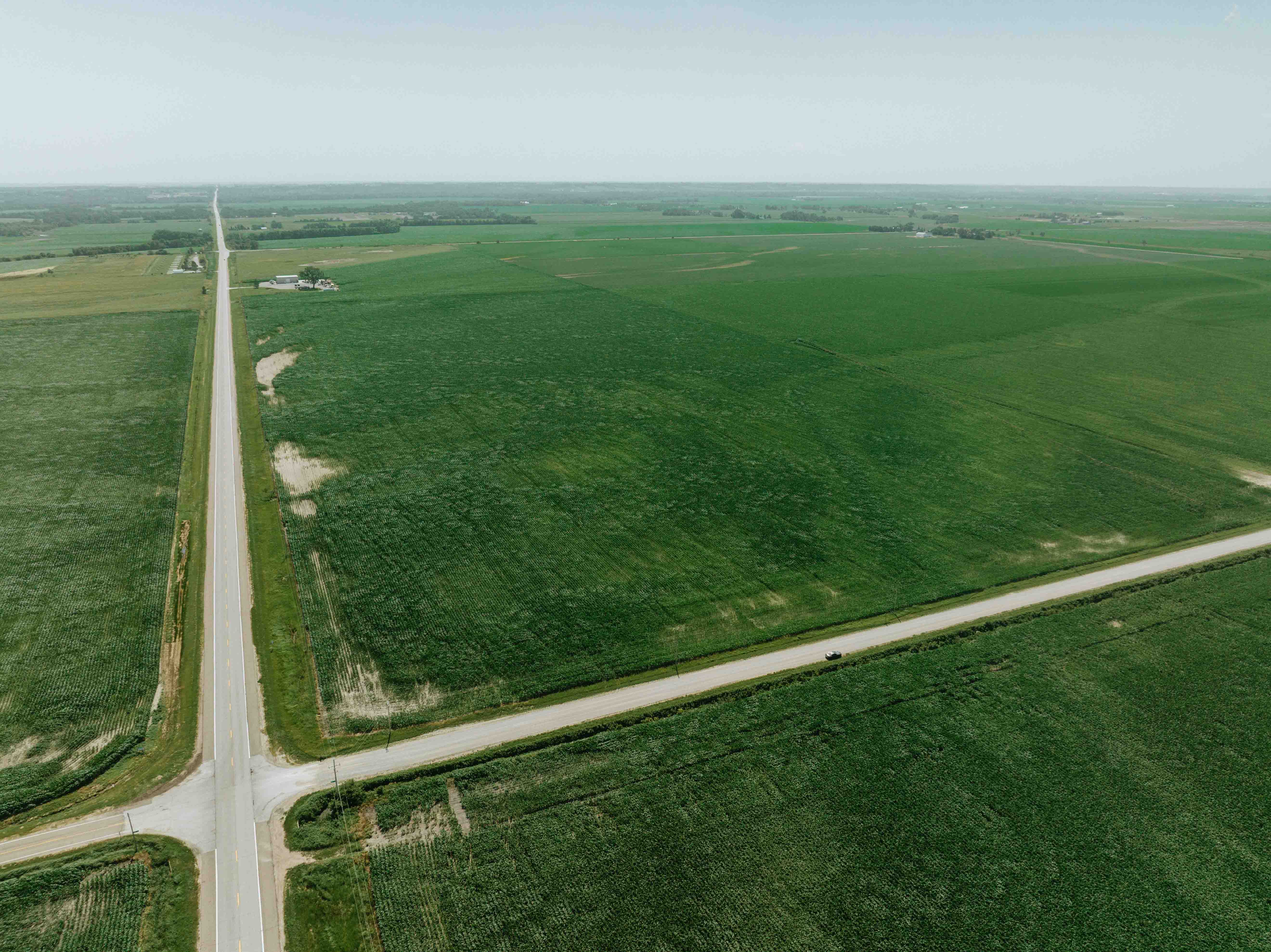
From Fremont Nebraska travel south on HWY 275 to the HWY 36 exit. Turn left onto HWY 36 and head east for 2 miles to County Road 29, turn right onto road County Road 29 and the property is located on your left-hand side. From Omaha Nebraska head north on HWY 275 to the HWY 36 exit. Turn right onto HWY 36 and head east for 2 miles to County Road 29 turn, right onto County Road 29 and the property is located on your left-hand side. The property is bordered on the north by HWY 36 and the west by County Road 29.

Land Photos